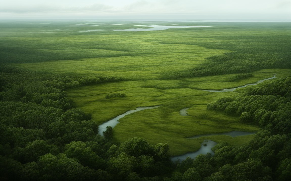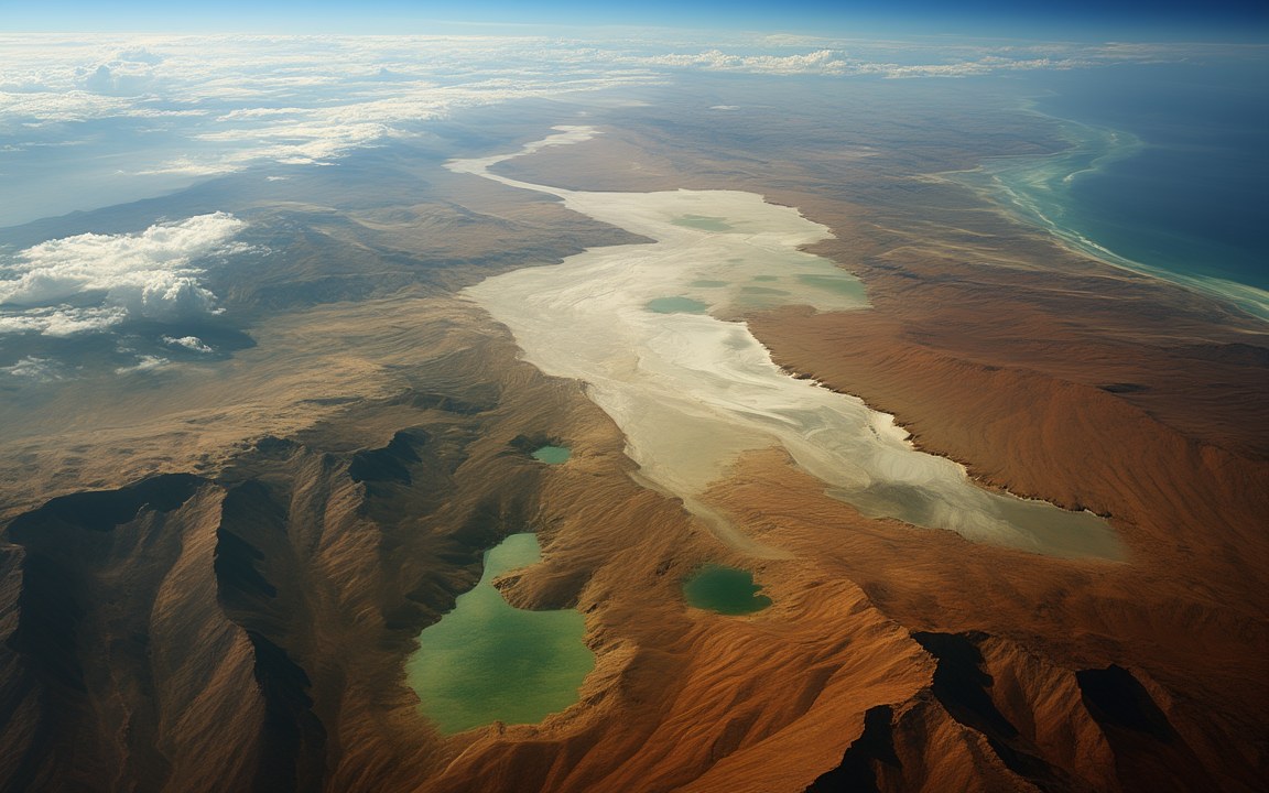
Seen from very high above, a vast, deep basin floored with dazzling white salt flats and a few shrunken green lakes between steep brown slopes and mountains, the blue ocean far off on the horizon, an impression of the dried-up Mediterranean about 5.6 million years ago.

Lost WorldsNeogene

Messinian salinity crisis

The Mediterranean cut off from the ocean and left to evaporate, its level falling, in recent estimates, by anything from 600 m to over 2 km

About 5.97 to 5.33 million years ago Reconstruction, not a photograph
Crisis about 5.97 to 5.33 million years ago the onset is also given as 5.96 million, give or take 0.02, from the magnetism of the rocks [2]
Great fall in level about 5.60 to 5.55 million years ago the second of three stages [2]
Cause the Atlantic seaways closed the Betic and Rifian corridors, through tectonic movement [1]
Fall in level, 2024 estimate 1.7 to 2.1 km in the east, about 0.85 km in the west from chlorine isotopes in rock salt [3]
Fall in level, 2022 estimate about 600 m from the buried Nile canyon, with salt forming under 1 to 3 km of water [4]
Water lost up to 83 per cent in the east, 43 per cent in the west in the 2024 estimate [3]
Salt about a million cubic kilometres roughly 5 per cent of the salt dissolved in the oceans [2]
Nile canyon floor 1 700 to 1 800 m below today's sea level south of Cairo, in a 2026 seismic study [5]
Marine life 86 of 779 endemic species survived about 11 per cent; species numbers took at least 1.7 million years to recover [7]
Ended about 5.33 million years ago with the Zanclean flood [2]

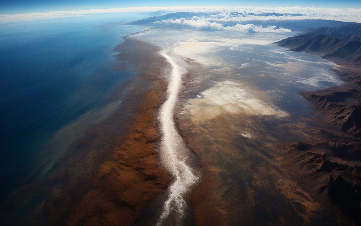
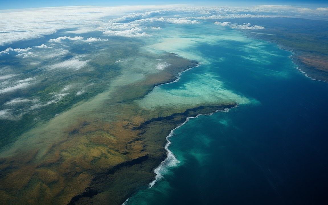
About the pictures. All four paintings show the driest version of the crisis, about 5.6 million years ago, close to the near-desiccation model that followed the 1970 drilling: the basin from high above with salt flats and shrunken lakes, a salt crust around a brine pool, the Nile in a limestone gorge, and the view down from a dry ridge. Later estimates are wetter. Aloisi and colleagues keep over 1 km of brine in the deepest eastern basins, and the drop of about 600 m proposed by Gvirtzman and colleagues would leave most of the basin flooded. The salt and the canyon come from drill cores and seismic surveys. The colours, plants, light, the height of the gorge and every outline of land and water are imagined.

Between about 5.97 and 5.33 million years ago the Mediterranean was cut off from the Atlantic in stages and began to evaporate. Salt and gypsum piled up on its floor, rivers cut canyons into its exposed margins, and most of the species found only in that sea died out. This Messinian salinity crisis takes its name from Messina in Sicily. About a million cubic kilometres of salt still lies under the seabed, so nobody doubts that it happened. How far the water fell has been argued over for more than 50 years.

How far the sea fell

Published estimates run from no fall at all to more than 2 000 m. The idea of a nearly empty basin, more than 2 km down, followed the drilling of the 1970s and dominated the literature for decades.

In 2024 a team led by Aloisi measured chlorine isotopes in rock salt from a well in the eastern Mediterranean. They concluded that the level dropped 1.7 to 2.1 km in the east and about 0.85 km in the west. Even so, the deepest eastern basins kept more than 1 km of brine.

A 2022 study led by Gvirtzman argued for much less. It restored the buried Nile canyon to its original shape and put the river’s base level only about 600 m below today’s sea level, which would leave the salt forming under 1 to 3 km of water.

A 2025 model led by García-Castellanos has the level swinging: lakes about 1 795 m below today’s sea level in the west and 1 664 m in the east at the first low point, then an overall rise of more than 1 300 m as erosion let water spill in from the Paratethys lakes to the north. That could explain how the same brackish deposits, known as Lago Mare, turn up both in deep boreholes and along today’s coasts.

Shutting the Atlantic door

The Strait of Gibraltar probably did not yet exist. The Atlantic reached the Mediterranean through two seaways, the Betic corridor, where Spain’s Sierra Nevada now stands, and the Rifian corridor, where the Rif Mountains now stand. Tectonic movement slowly closed them. The Mediterranean loses more water to evaporation than its rivers supply, so without the Atlantic it shrinks.

Gypsum formed first, from 5.97 to 5.60 million years ago. The great fall in level followed between 5.60 and 5.55 million years ago, and Aloisi’s team finds two phases of salt: about 35 000 years in the east only, then under 10 000 years across the whole sea. From 5.55 to 5.33 million years ago the basin held the brackish lakes of the Lago Mare.

Reading the salt

A seismic survey in 1961 found a strong layer 100 to 200 m below the seabed, named the M reflector. In 1970 the drilling ship Glomar Challenger, with Ryan and Hsü as chief scientists, cored it and brought up gypsum, anhydrite, rock salt and, in places, potash. One core held deep-sea ooze that had dried to dust, blown across the hot floor and settled in a brine lake.

The floor was probably very hot. Anhydrite forms only in water above 35 °C, and a 2009 climate model of a fully dry basin gives summers up to 15 °C warmer.

A canyon under Cairo

The Nile’s canyon lies buried beneath its delta and is often compared with the Grand Canyon, which is about 1 857 m deep. Gvirtzman’s team found that 60 km north of Cairo its relief shrinks from 1 500 m as buried to about 1 000 m once the weight of later sediment is taken off, well short of that comparison. In 2026, however, Bosworth and Mitchell used three-dimensional seismic data from south of Cairo to map a canyon 9 km wide with its floor 1 700 to 1 800 m below today’s sea level, cut into hard limestone, and concluded that the eastern sea fell by at least 1 800 m. The same canyon has been read both ways.

What it cost

A 2024 survey of the fossil record led by Agiadi found that only 86 of the 779 species living only in the Mediterranean survived, and that species numbers took at least 1.7 million years to recover. Aloisi’s team argues that a drop of 0.85 km would have linked Africa and Europe through the Betic region and the Balearic Islands, where the goat-like Myotragus later lived in isolation. The crisis ended about 5.33 million years ago with the Zanclean flood.
Where it sits in deep time

Messinian salinity crisis: About 5.97 to 5.33 million years ago, in the Neogene.

Messinian salinity crisis

Earth forms, 4.57 billion years agoToday

Each step to the right is ten times closer to today, so the last few million years get as much room as the first billion.

If Earth's history were one day

Squeeze all of Earth's history, about 4.6 billion years, into 24 hours, starting at midnight. Messinian salinity crisis runs from 23:58:07 to 23:58:19, ending 2 minutes before midnight.

On this clock one second is about 52 862 years. All of written history fits into the last tenth of a second.

How far the water fell

Estimates of the fall in water level from three recent studies, which rest on different evidence.

Aloisi gives a range of 1.7 to 2.1 km for the east, shown here at its upper end. The Bosworth and Mitchell figure is a minimum. The floor of the deep basins lay lower still, about 3 to 5 km below normal sea level.

Reconstructions

Seen from very high above, a vast, deep basin floored with dazzling white salt flats and a few shrunken green lakes between steep brown slopes and mountains, the blue ocean far off on the horizon, an impression of the dried-up Mediterranean about 5.6 million years ago. AI-generated painting.
A blinding white plain of salt crust broken into polygons around a pale turquoise brine lake, white mounds of salt and gypsum in the foreground and the hazy blue walls of the basin on the horizon, an impression of the floor of the dried-up Mediterranean about 5.6 million years ago. AI-generated painting.
A river winding along the bottom of a deep gorge between sheer, layered cliffs of pale limestone, a green ribbon of reeds and trees along the water far below, an impression of the Nile gorge cut down towards the dried-up Mediterranean about 5.6 million years ago. AI-generated painting.
Looking down from a dry, scrubby ridge into a vast, hazy basin of white salt flats far below, steep brown slopes falling away on both sides, an impression of the dried-up Mediterranean about 5.6 million years ago. AI-generated painting.

Questions people ask

Did the Mediterranean Sea really dry up?

Partly, and how far is still argued over. Published estimates of the fall in level run from none to more than 2 000 m. There is no consensus on whether it ever emptied completely, and at least three or four large brine lakes probably remained.

When did the Mediterranean dry up, and for how long?

The crisis ran from about 5.97 to 5.33 million years ago, but the great fall in level was much shorter, between about 5.60 and 5.55 million years ago. One 2024 study puts its final, fastest phase at under 10 000 years.

How deep was the dry Mediterranean?

The floor of the deep basins lay about 3 to 5 km below normal sea level. The height of the water is the debated part: about 600 m down in one study, and 1.7 to 2.1 km down in the east and about 0.85 km in the west in another.

Why did the Mediterranean dry up?

Tectonic movement closed the Betic and Rifian seaways that linked it to the Atlantic. The Mediterranean loses more water to evaporation than its rivers bring in, so once it was cut off it shrank and its salt settled on the floor. Small falls in global sea level and climate cycles may also have played a part.

How much salt is under the Mediterranean?

About a million cubic kilometres, roughly 5 per cent of all the salt dissolved in the world's oceans. In places the layers of salt and gypsum are kilometres thick.

Could animals walk from Africa to Europe during the crisis?

Land mammals did cross between North Africa and Iberia, and animals reached the Balearic Islands. A 2024 study argues that a fall of 0.85 km would have opened a land bridge through the Betic region and the Balearics. Familiar images of camels crossing are artists' impressions.

Sources

  1. Wikipedia: Messinian salinity crisis
  2. García-Castellanos et al. (2025), Kilometric sea level changes during the Messinian salinity crisis caused by river erosion and climate, Science Advances 11, eads9752
  3. Aloisi et al. (2024), Chlorine isotopes constrain a major drawdown of the Mediterranean Sea during the Messinian Salinity Crisis, Nature Communications 15, 9671
  4. Gvirtzman et al. (2022), Limited Mediterranean sea-level drop during the Messinian salinity crisis inferred from the buried Nile canyon, Communications Earth & Environment 3, 216
  5. Bosworth and Mitchell (2026), Deep drawdown of the Mediterranean during the Messinian Salinity Crisis inferred from Nile Canyon 3D seismic reflection data near Cairo, Egypt, Palaeogeography, Palaeoclimatology, Palaeoecology 690, 113680
  6. Agiadi et al. (2024), The marine biodiversity impact of the Late Miocene Mediterranean salinity crisis, Science 385, 986
  7. ICM-CSIC (2024), How a salt giant radically reshaped Mediterranean marine biodiversity (Agiadi et al., Science)
  8. Wikipedia: Grand Canyon