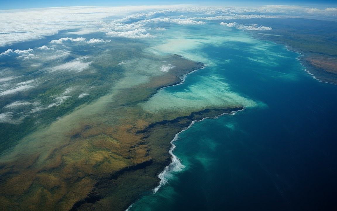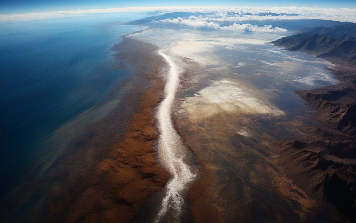
Seen from high above, the blue ocean on the left and a bright torrent of white water running down a long channel into a vast, dry basin of white salt flats where it spreads out, brown mountains on the right, an impression of the Atlantic breaking into the Mediterranean about 5.3 million years ago.

Lost WorldsNeogene

Zanclean flood

The Atlantic breaking through at Gibraltar to refill a sea that had shrunk to lakes, perhaps within a few years

About 5.33 million years ago Reconstruction, not a photograph
When about 5.33 million years ago at the start of the Zanclean age, named after Zancle, the old name of Messina [3]
Refill time, 2009 model several months to two years for 90 per cent of the basin, in the modelling of one group; low inflow beforehand may have lasted thousands of years [1]
Other estimates 2 to 16 years the range quoted in a 2024 paper; an older view allowed up to 10 000 years [6]
Peak flow about 100 million m³ per second in the models; more than 80 times the flow of all today's rivers together [1]
Water speed at Gibraltar over 40 m per second in the 2009 model [1]
Rise in the basin at times over 10 m a day [1]
Channel nearly 390 km long several hundred metres deep, about 1 000 km³ of rock removed [5]
Fall off Sicily about 1 500 m proposed at the Malta Escarpment, through the Noto Canyon [8]
Debris in the Ionian Sea up to 760 to 860 m thick 1 430 to 1 620 km³; called the largest known megaflood deposit on Earth [7]
World ocean about 10 m lower as the Atlantic drained into the Mediterranean [1]

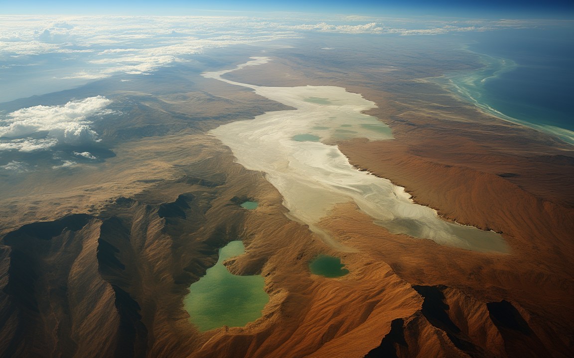
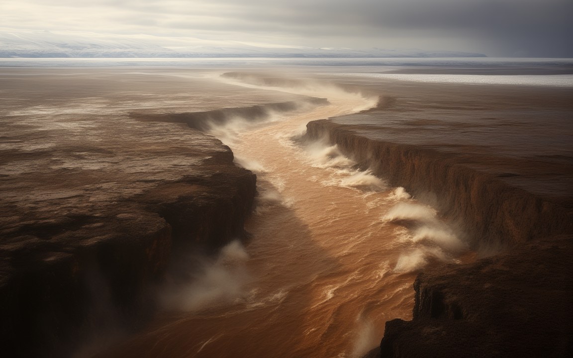
About the pictures. Painted as the Atlantic breaking in about 5.33 million years ago: from high above, a torrent running down a long channel into a basin of salt flats; colossal falls dropping into a canyon; floodwater pouring off a dark cliff across cracked salt; and a brown torrent in a steep-sided channel. Seismic surveys show the channel at Gibraltar, and models give a long ramp there, so the falls and the cliff belong, if anywhere, at the Malta Escarpment off Sicily, where a fall of about 1 500 m is proposed. The clear green sheets in one painting are imagined; a flood moving so much rock was probably muddier. Salt flats fill the basin in these paintings, though brackish lakes probably lay there by then. Landforms, spray and light are imagined too.

About 5.33 million years ago, according to the leading theory, the Atlantic broke through the land at Gibraltar and poured into a Mediterranean that had shrunk to brackish lakes. This is the Zanclean flood, named after the first age of the Pliocene. It ended the Messinian salinity crisis and made the Strait of Gibraltar. If the models are right it was the largest known flood on Earth. Nobody can say exactly how large, because that depends on how low the sea stood when the water arrived, and some geologists argue it never happened at all.

Months, by one group’s reckoning

The figure most often repeated comes from one group’s modelling. In 2009 García-Castellanos and colleagues worked out how water crossing the barrier would erode its own channel, letting more water in, which would cut faster still. In their model a low inflow, perhaps lasting thousands of years, gave way to a flood that filled about 90 per cent of the basin in between several months and two years. Peak flow reached about 100 million cubic metres per second at more than 40 m per second, and at times the level in the basin rose by over 10 m a day.

A 2024 paper by Micallef’s team quotes earlier estimates of 68 to 100 million cubic metres per second lasting 2 to 16 years, and the older view allowed up to 10 000 years. How much water was missing is the unresolved question, and a higher level would mean a much smaller flood. As it filled, the level of the world’s oceans dropped by about 10 m.

A ramp at Gibraltar, a cliff off Sicily

Popular images show a towering waterfall at Gibraltar, but the buried channel descends gradually, so the water seems to have run down a long ramp, a drop of more than 1 000 m. That channel runs nearly 390 km from the Gulf of Cádiz to the Algerian Basin. Its cutting removed about 1 000 km³ of rock, much of it left as giant bars in the Alboran Sea.

The western basin filled first, because the sill between Sicily and Africa held the water back. When it overtopped that barrier, it fell into the eastern basin down the Malta Escarpment, a limestone cliff over 3 km high in places. Micallef’s team proposes a fall of about 1 500 m there, through the Noto Canyon, with water moving at up to 160 km per hour.

What it left on the seabed and on land

Below the escarpment, in the Ionian Sea, lies a buried wedge of chaotic sediment 760 to 860 m thick at its thickest and 1 430 to 1 620 km³ in volume. Micallef’s team, who described it in 2018, called it the largest known megaflood deposit on Earth. It is a jumble of angular pebbles and boulders with no layering.

In 2024 the same team reported more than 300 streamlined ridges on the sill in south-east Sicily, on average 640 m long and 40 m high, all aligned with the flow and capped with rubble lying between Messinian and early Zanclean rocks. A shelf channel 8 to 20 km wide links them to the Noto Canyon. The authors conclude that the crisis ended in a cataclysmic flood, which would mean the sea had fallen a long way beforehand.

The case against

The flood remains a hypothesis. A 2025 review by Roveri, Lugli and Manzi argues that the connection through Gibraltar was probably active before and throughout the crisis, which would allow slow processes to have shaped the strait and a Mediterranean that never emptied. Geology along the southern edge of the Alboran Sea has been read as evidence against a catastrophe. Others propose a gradual refill, partly from other sources, or several pulses with a smaller flood first.

The sea that came back

If the flood happened as modelled, it cut the land route between Africa and Europe, finally isolated islands such as Crete, and let whales and other sea animals move in from the Atlantic. Quakes set off by the rapid filling may have caused landslides and tsunamis up to 100 m high. The Nile’s canyon became a long inlet. Older accounts take it as far as Aswan, about 1 200 km upstream, but Gvirtzman’s team found deep water only as far as the Cairo region, with a shallower arm beyond. Pliny the Elder recorded a much older explanation for the strait: Hercules dug it.
Where it sits in deep time

Zanclean flood: About 5.33 million years ago, in the Neogene.

Zanclean flood

Earth forms, 4.57 billion years agoToday

Each step to the right is ten times closer to today, so the last few million years get as much room as the first billion.

If Earth's history were one day

Squeeze all of Earth's history, about 4.6 billion years, into 24 hours, starting at midnight. Zanclean flood belongs at 23:58:19, 2 minutes before midnight.

On this clock one second is about 52 862 years. All of written history fits into the last tenth of a second.

Heights along the flood's path

The drop at Gibraltar, the proposed fall into the eastern basin, the cliff it crossed and the debris found below that cliff.

The drop at Gibraltar is a minimum, and every height depends on how low the Mediterranean stood when the flood began. The escarpment is over 3 km high in places.

Reconstructions

Seen from high above, the blue ocean on the left and a bright torrent of white water running down a long channel into a vast, dry basin of white salt flats where it spreads out, brown mountains on the right, an impression of the Atlantic breaking into the Mediterranean about 5.3 million years ago. AI-generated painting.
Colossal waterfalls of white water pouring over the rim of a deep, dry canyon into a basin of salt flats and pools far below, clouds of spray rising, an impression of the Atlantic refilling the dried-up Mediterranean about 5.3 million years ago. AI-generated painting.
Floodwater pouring over a dark cliff and spreading in green-blue sheets across a white plain of cracked salt, an impression of the Atlantic flooding the dry floor of the Mediterranean about 5.3 million years ago. AI-generated painting.
A huge torrent of brown, white-capped water racing down a long channel between steep brown slopes towards a hazy basin far below, an impression of the Atlantic rushing into the Mediterranean through the gap where the Strait of Gibraltar is today, about 5.3 million years ago. AI-generated painting.

Questions people ask

What was the Zanclean flood?

The proposed refilling of the Mediterranean by the Atlantic about 5.33 million years ago, after the sea had shrunk during the Messinian salinity crisis. Water is thought to have broken through the land at Gibraltar and carved the channel that became the strait.

How long did it take to refill the Mediterranean?

Several months to two years for 90 per cent of the basin, in modelling published by García-Castellanos and colleagues in 2009. A 2024 paper quotes a range of 2 to 16 years, and the older view was up to 10 000 years. Some geologists favour a gradual refill.

Was there a giant waterfall at Gibraltar?

Probably not. Surveys of the buried channel show it descending gradually, so the water would have run down a long ramp. A fall of about 1 500 m has been proposed farther east, where the flood crossed the Malta Escarpment off Sicily.

How big was the Zanclean flood?

Models give a peak of about 100 million cubic metres per second, more than 80 times the flow of all today's rivers together. Comparisons with the Amazon vary, from about 450 times to about a thousand times. If the models hold, it was the largest known flood on Earth.

What is the evidence for the Zanclean flood?

An erosion channel nearly 390 km long from the Gulf of Cádiz to the Algerian Basin, a chaotic deposit up to 860 m thick in the Ionian Sea, and more than 300 streamlined ridges in south-east Sicily capped with flood debris.

Did the flood create the Strait of Gibraltar?

That is the most widely accepted view: a stream cut back through the barrier until it reached the Atlantic. A 2025 review by Roveri, Lugli and Manzi disagrees, arguing that the connection through the strait was probably active throughout the crisis.

Sources

  1. Wikipedia: Zanclean flood
  2. Wikipedia: Zanclean
  3. García-Castellanos et al. (2025), Kilometric sea level changes during the Messinian salinity crisis caused by river erosion and climate, Science Advances 11, eads9752
  4. Garcia-Castellanos et al. (2009), Catastrophic flood of the Mediterranean after the Messinian salinity crisis, Nature 462, 778
  5. Garcia-Castellanos et al. (2020), The Zanclean megaflood of the Mediterranean: searching for independent evidence, Earth-Science Reviews 201, 103061
  6. Micallef et al. (2024), Land-to-sea indicators of the Zanclean megaflood, Communications Earth & Environment 5, 794
  7. Micallef et al. (2018), Evidence of the Zanclean megaflood in the eastern Mediterranean Basin, Scientific Reports 8, 1078
  8. Scientific American (2018), A megaflood-powered mile-high waterfall refilled the Mediterranean
  9. Phys.org (2018), Scientists find new evidences of the megaflood that ended the Messinian Salinity Crisis in the eastern Mediterranean
  10. Roveri, Lugli and Manzi (2025), The desiccation and catastrophic refilling of the Mediterranean: 50 years of facts, hypotheses, and myths around the Messinian salinity crisis, Annual Review of Marine Science 17, 485
  11. Gvirtzman et al. (2022), Limited Mediterranean sea-level drop during the Messinian salinity crisis inferred from the buried Nile canyon, Communications Earth & Environment 3, 216