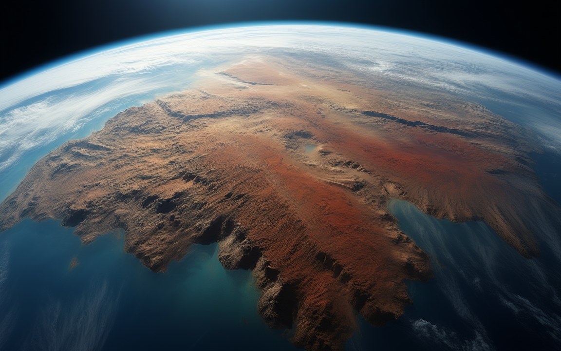
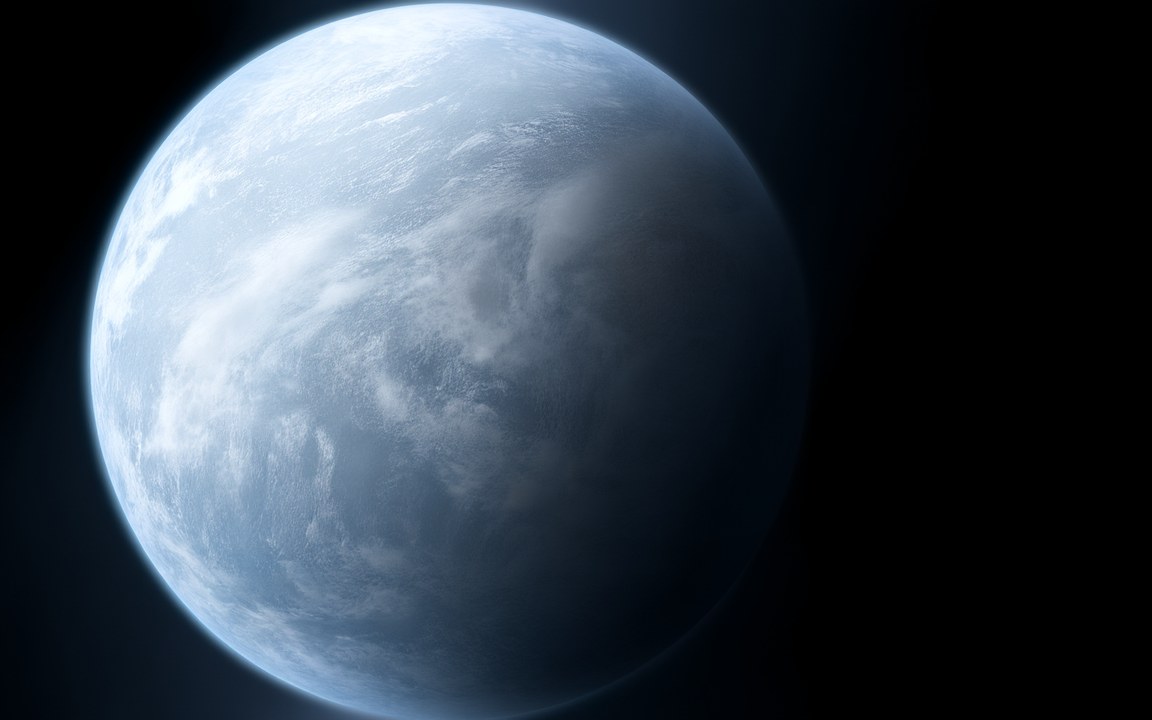
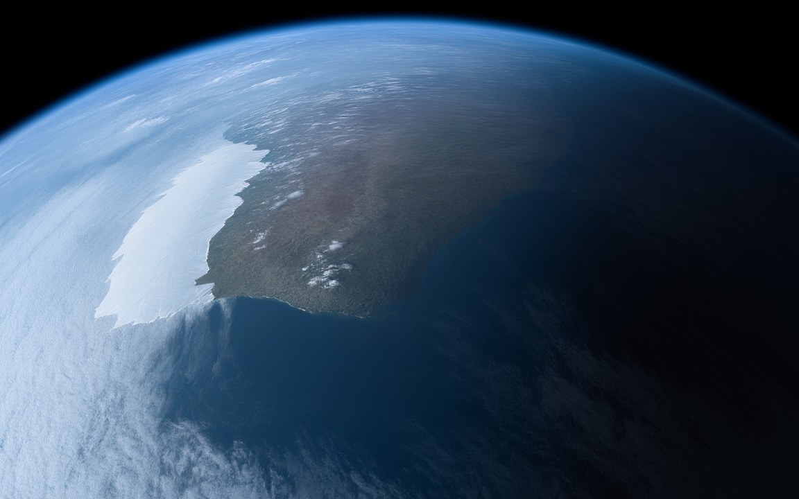
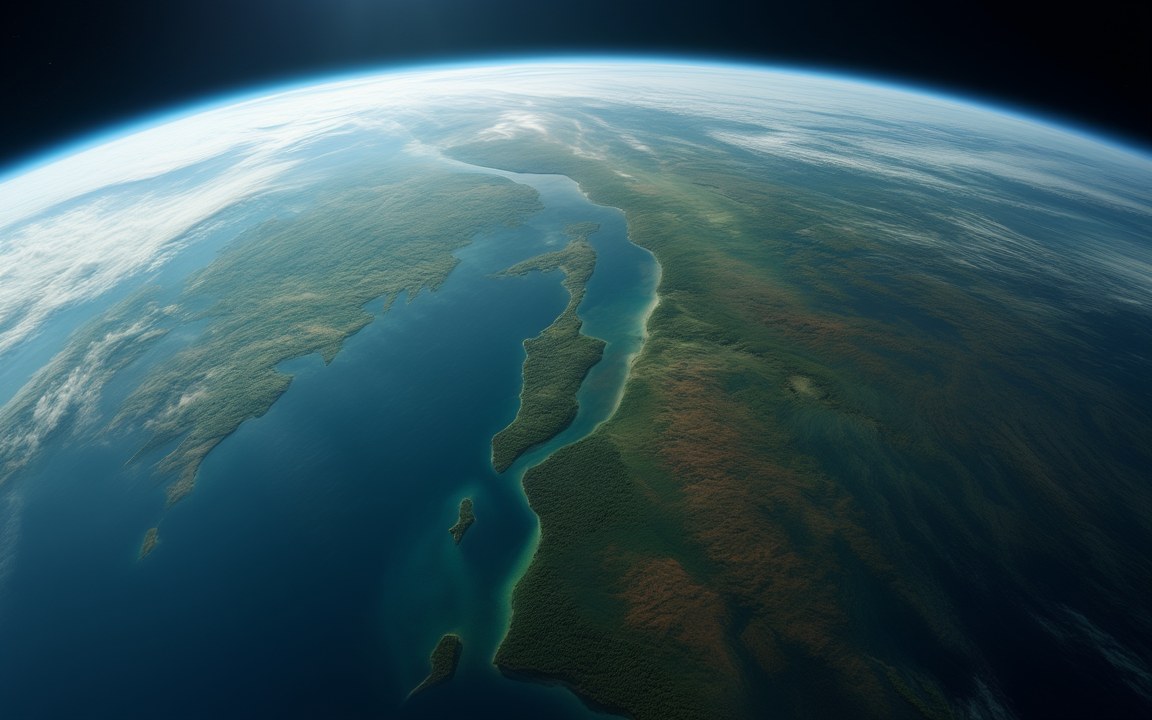
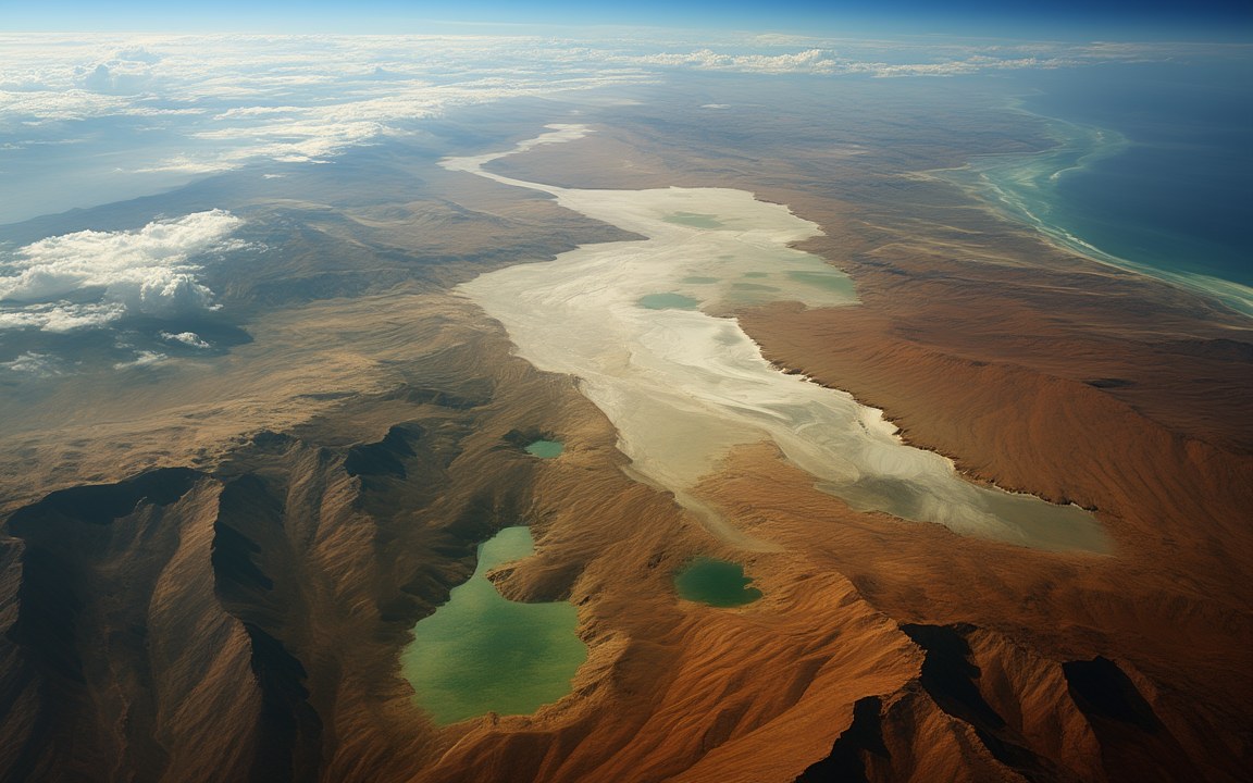
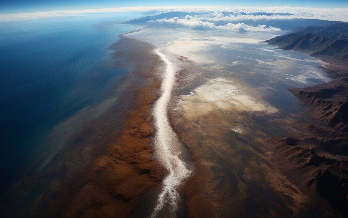
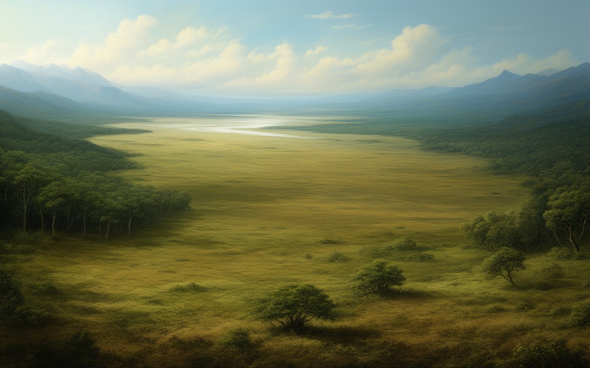
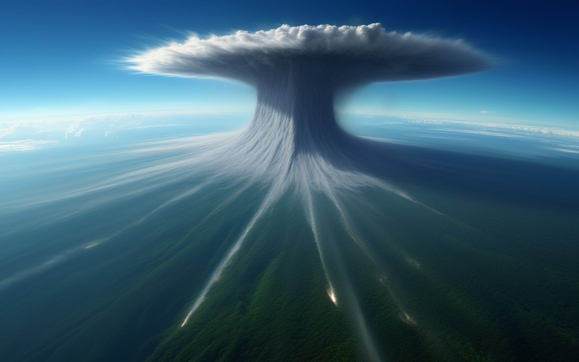
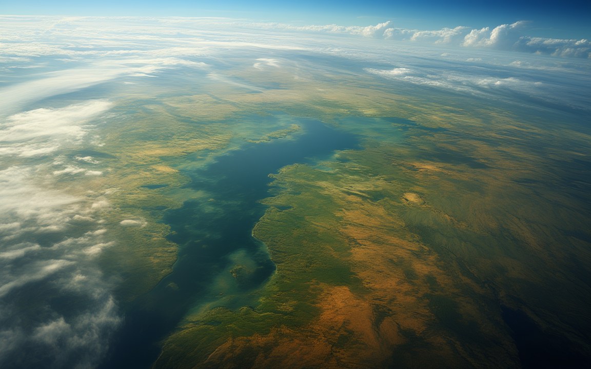
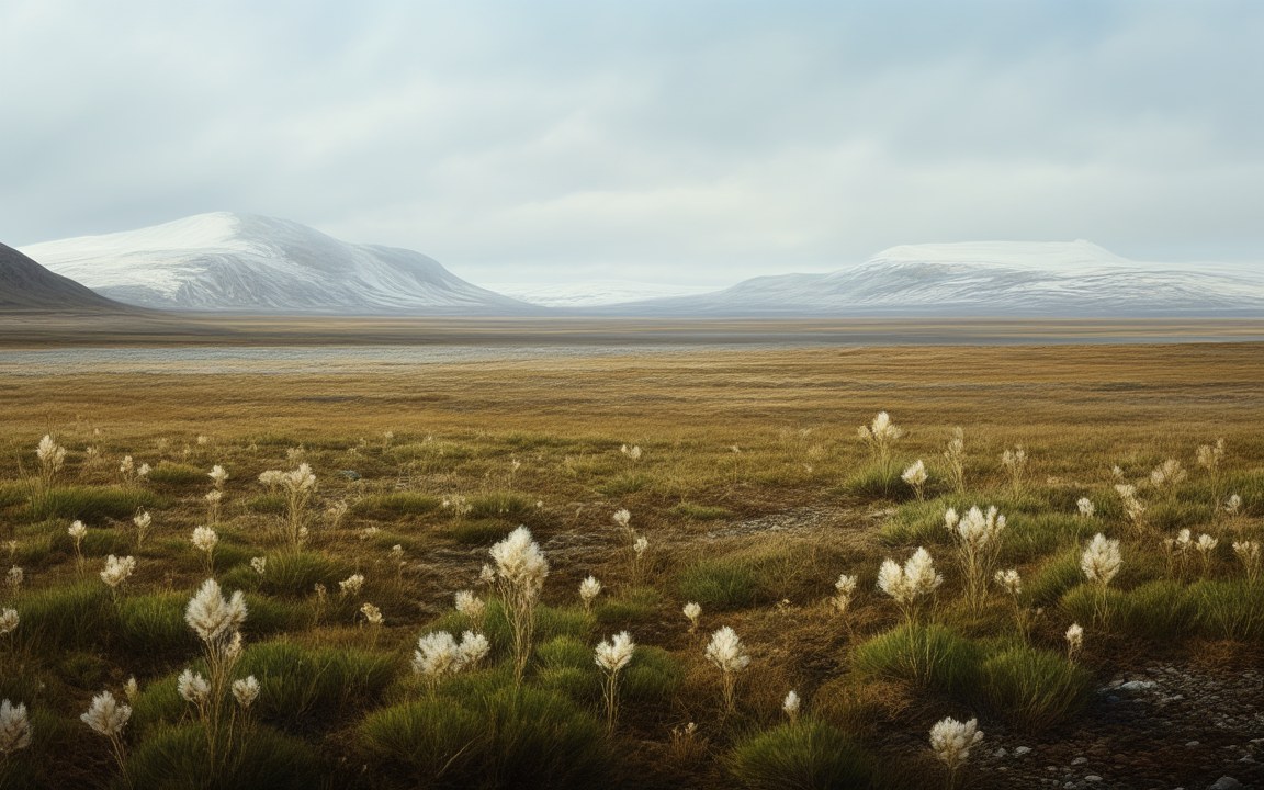
The Earth has not always looked the way it does from space today. Its continents have joined into supercontinents and broken apart again. Its oceans have frozen, its climate has swung between deep ice and searing heat, and whole stretches of land have sunk beneath the sea. None of this was ever seen by anyone, but it left traces that can be read.
This collection follows those traces. Pangaea and Gondwana are reconstructed from the way coastlines fit together, from matching rocks and fossils on continents now oceans apart, and from the magnetism frozen into ancient lava. Zealandia, a continent almost entirely under water, has been mapped from rocks dredged up from the seafloor. Doggerland, the land that once joined Britain to Europe, is known from seismic surveys, peat and tools brought up by trawlers, and DNA from seabed cores.
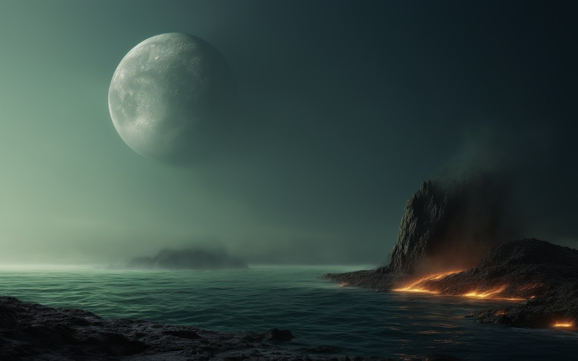
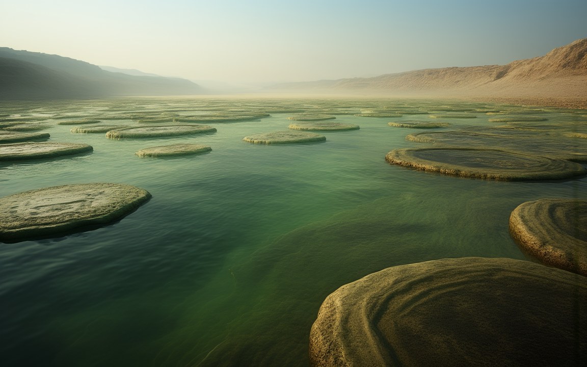
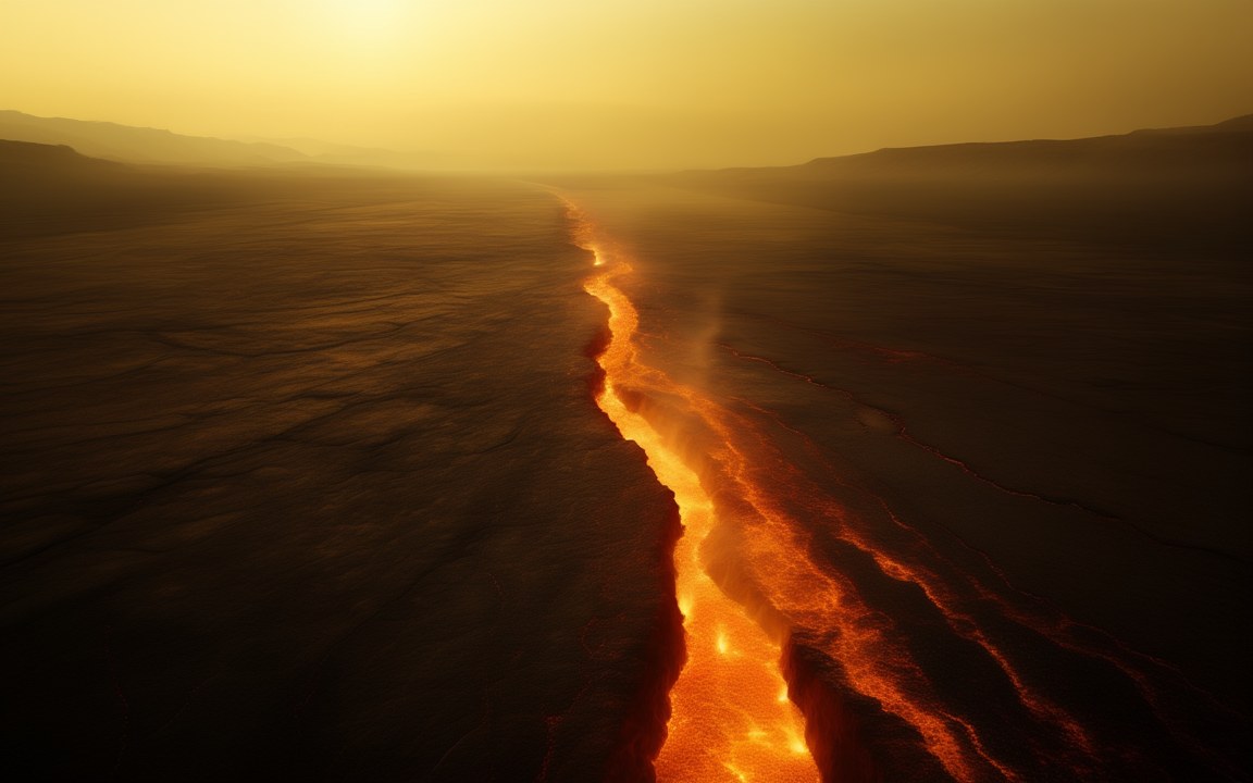
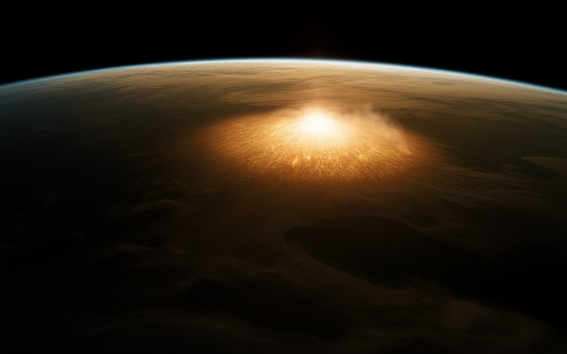
Some of these places are moments rather than lands: the asteroid that struck Chicxulub 66 million years ago, the volcanic floods behind the Great Dying, the burst of animal life in the Cambrian, and the times, around 700 million years ago, when ice may have reached the equator. Others are closer to our own time: the ice sheets of the last glacial maximum, the Sahara when it was green, and the Mediterranean, which fell far below today’s level and then refilled. The oldest of all, the Hadean, is known almost entirely from tiny grains of a mineral called zircon.
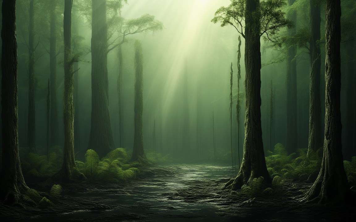
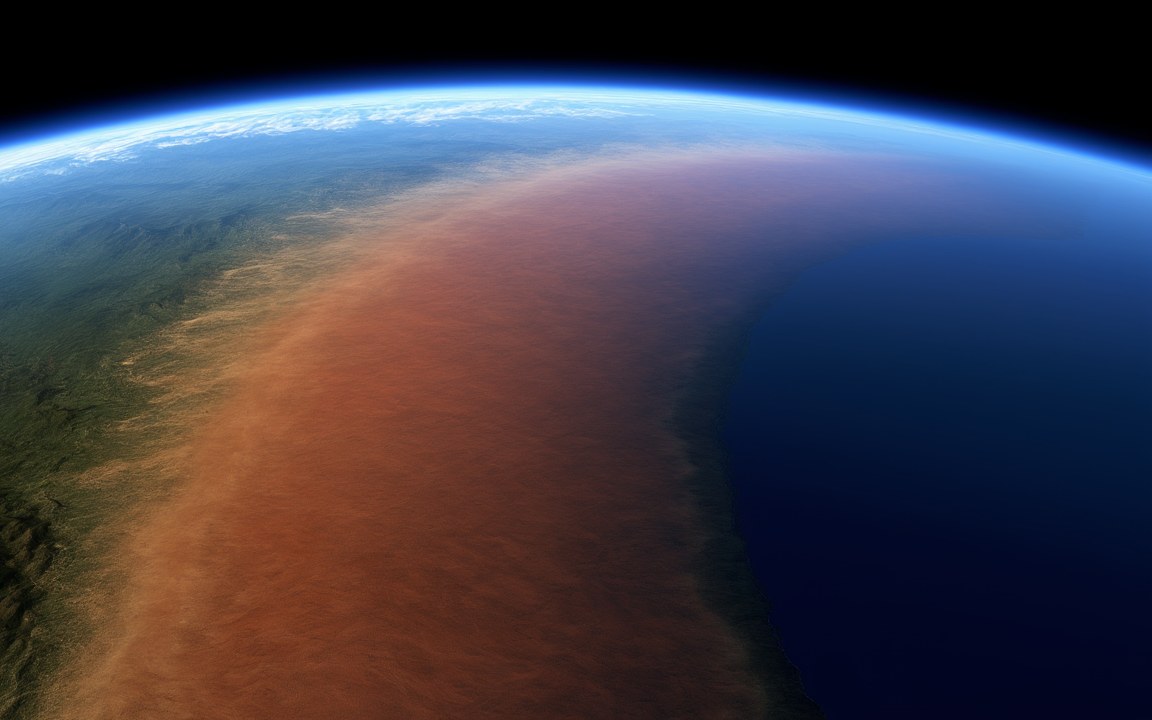
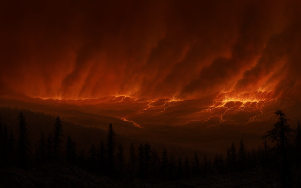
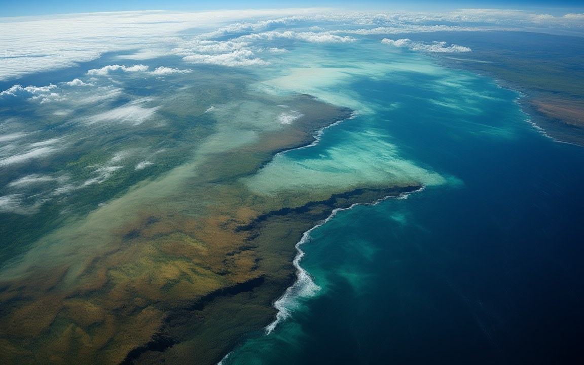
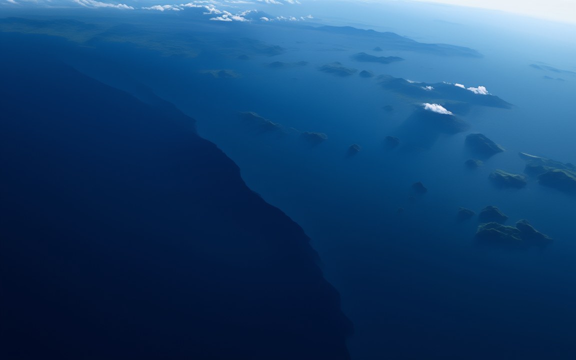
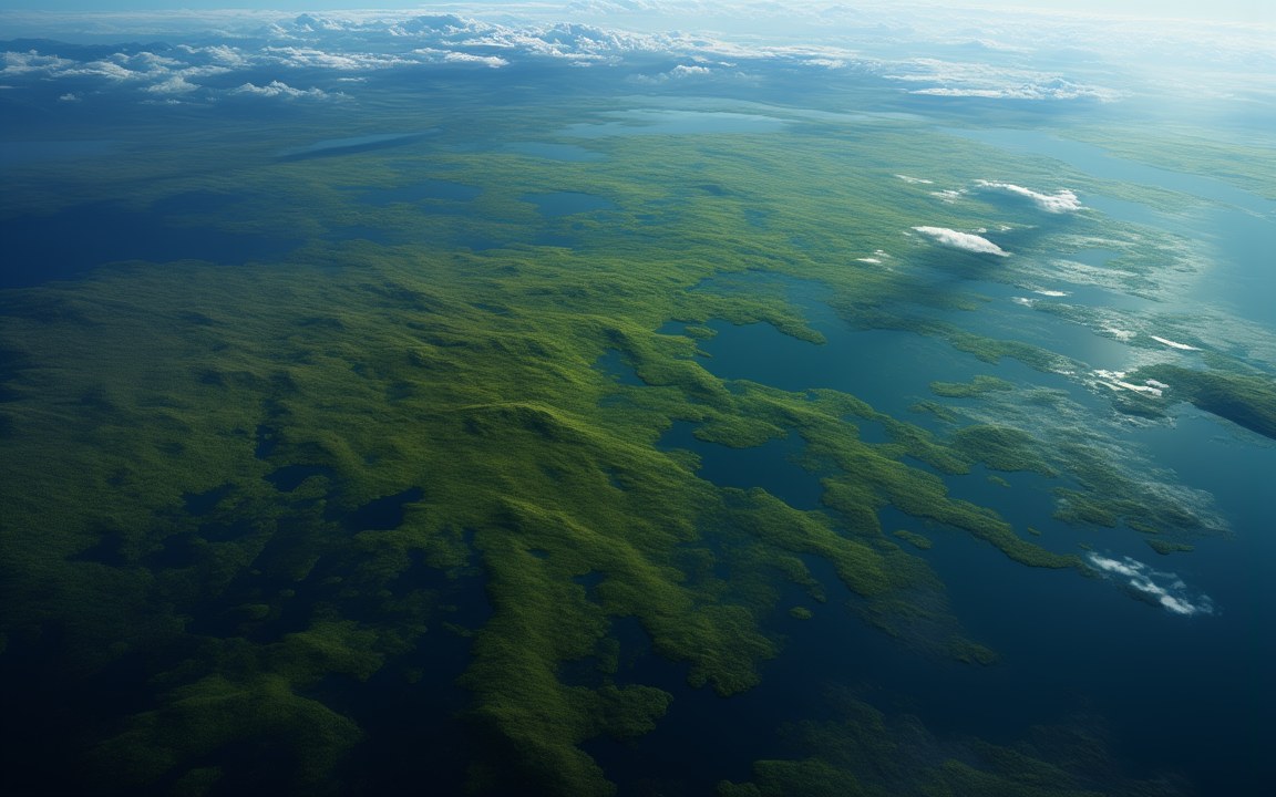
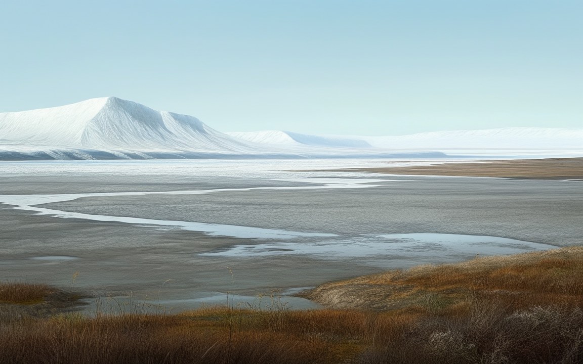
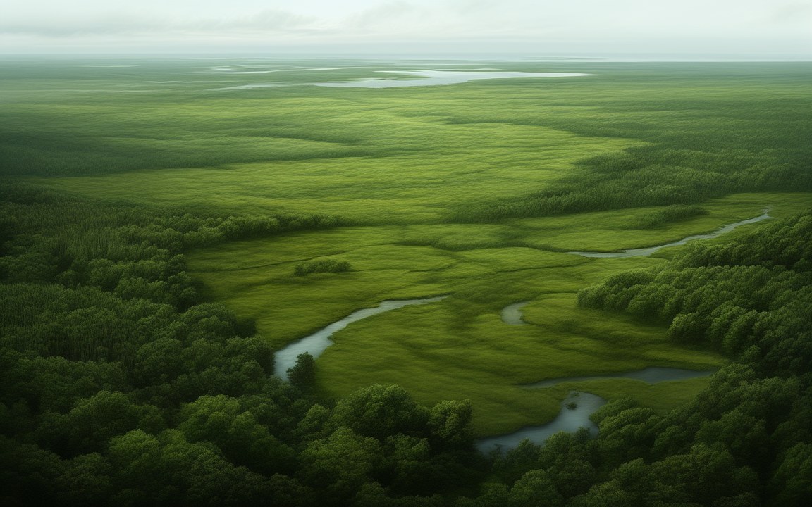
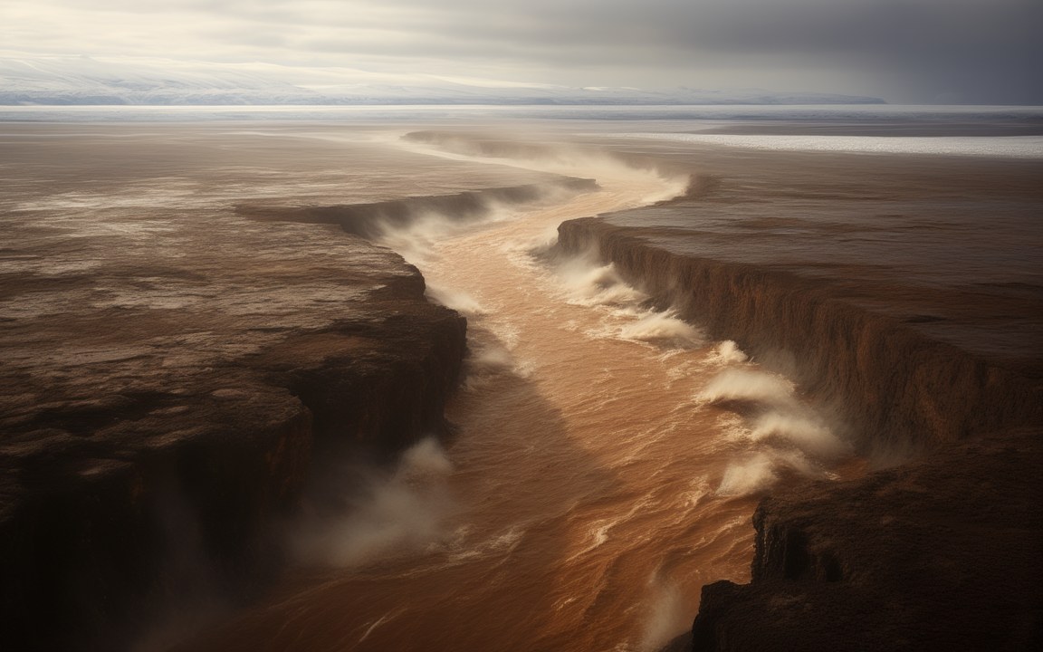
The paintings show these worlds as current studies reconstruct them. Exact coastlines, the colour of the land and the sky are rarely known, and the note under the facts on every page says what each picture is based on.