Above water todayNew Zealand, New Caledonia and small islandshighest point Aoraki / Mount Cook, 3 724 m[1]
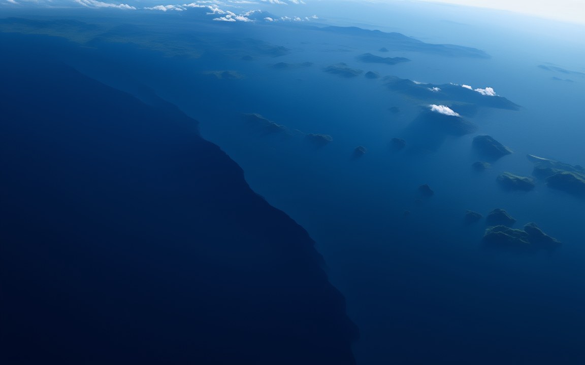
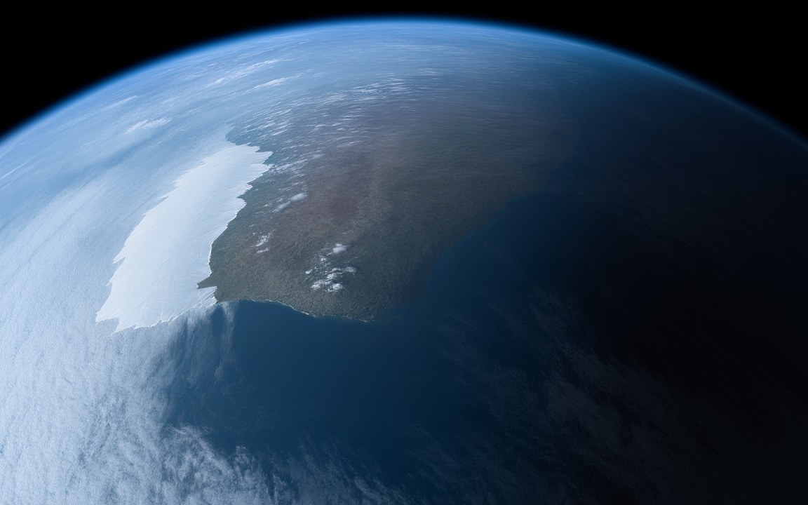
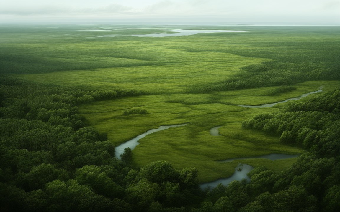
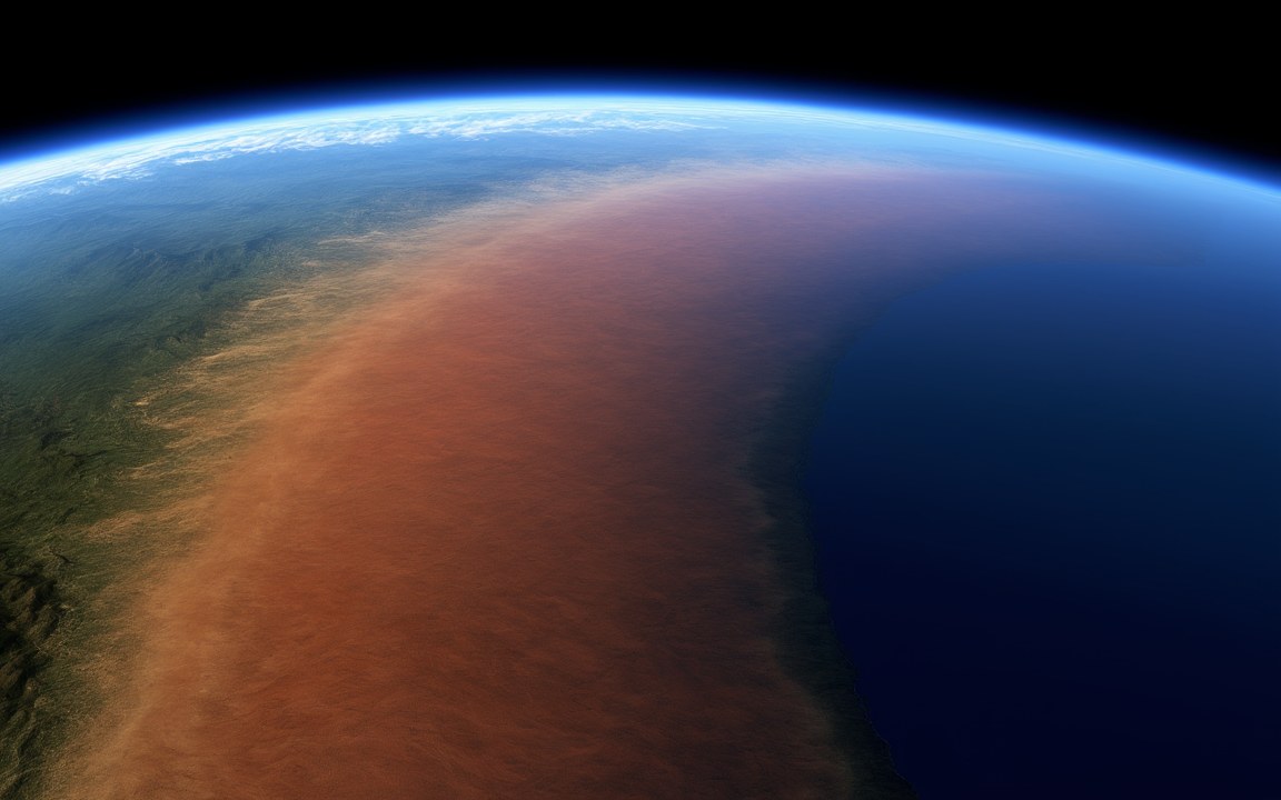
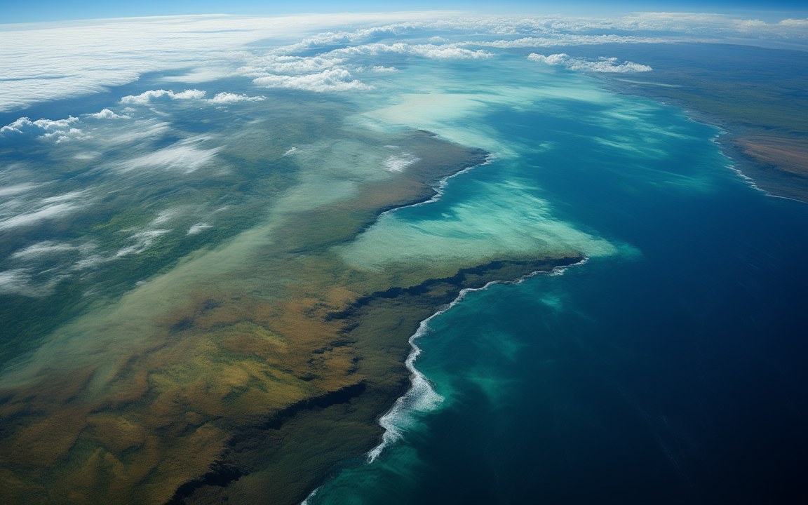
About the pictures. Painted from above with the drowned continent shown as a faint shadow under the sea; as a forested landscape of about 85 million years ago, when Zealandia was still the polar edge of Gondwana; as a shallow sea with low islands about 25 million years ago, when the water covered most of it; and as the Tasman Sea first opening in a rift. The real continent lies about 1 100 m down and cannot be seen through the water; its outline comes from seafloor maps, so the first picture uses artistic licence. The flooding and the rift follow rock records and plate reconstructions, but the coastlines, the plants, the narrow width of the young sea and its small volcano are imagined.
There is a continent in the southwest Pacific that almost nobody has seen. Zealandia covers about 5 million square kilometres, but about 94 per cent of it lies under the sea, most of it around 1 100 m down. The parts that stick out above the water are New Zealand, New Caledonia and a handful of small islands. In 2017 a team of geologists made the case that it should be counted as a continent in its own right.
What makes a continent
Geologists use four tests. A continent stands high above the deep ocean floor, it is made of the light, silica-rich rocks typical of continents, its crust is thick, and it has well-defined limits over a large area. Zealandia passes all four. Its crust is 10 to 30 km thick, compared with about 7 km under the ocean, and it rises well above the surrounding seafloor even though it is drowned. The name was coined by the geophysicist Luyendyk in 1995. Its Māori name, Te Riu-a-Māui, means the hills, valleys and plains of Māui.
How it drowned
Zealandia began as the edge of Gondwana, the great southern supercontinent, making up about 5 per cent of its area. Between about 105 and 85 million years ago the crust there was stretched and thinned as Zealandia began to pull away, and it broke free around 80 million years ago. As the thinned crust cooled, it sank. The land shrank into a series of ever smaller islands, and the sea reached its greatest extent in the Oligocene, about 35 to 25 million years ago. Whether it was ever completely submerged is still disputed.
Its history was not a simple decline. Drilling in 2017 found fossils showing that northern Zealandia rose and probably had land areas between about 50 and 35 million years ago, before sinking another kilometre.
Mapping a hidden continent
Mapping a continent under a kilometre of water means sampling it from ships. Geologists dredged rocks from the seafloor and dated them, and used them to trace the ancient structures of Gondwana across the drowned land. The southern part was mapped in 2019, and a study published in 2023, based in part on rocks dredged from the Coral Sea, completed the first reconnaissance geological map of the whole continent. A 2025 review gave its area as about 5 million square kilometres and dated its full separation as a continent of its own to about 55 million years ago.
The oldest rocks found so far are granites about 490 to 505 million years old and limestone from the Middle Cambrian, but some researchers argue that parts of Zealandia are more than a billion years old.
Life on the lost land
Some traces of Zealandia’s land survive above water. At Curio Bay in New Zealand a fossil forest about 180 million years old has been preserved. Late Cretaceous rocks, from the end of the age of dinosaurs, contain dinosaur bones from what researchers describe as a polar fauna, living at the far southern edge of Gondwana. Conifers related to today’s kauri and Norfolk Island pine grew there as far back as the Jurassic.
Where it sits in deep time
Zealandia: Sank from about 85 to 25 million years ago, in the Cretaceous.
Each step to the right is ten times closer to today, so the last few million years get as much room as the first billion.
23:33:12
If Earth's history were one day
Squeeze all of Earth's history, about 4.6 billion years, into 24 hours, starting at midnight. Zealandia runs from 23:33:12 to 23:52:07, ending 8 minutes before midnight.
On this clock one second is about 52 862 years. All of written history fits into the last tenth of a second.
Reconstructions
A view from high above the ocean, where dark, deep water on the left gives way to a paler blue expanse of sea scattered with small green islands and clouds, an impression of the drowned continent Zealandia. AI-generated painting.A deep river valley between steep green hills covered in dense forest of tall, straight-trunked conifers with flat crowns, tree ferns in the foreground and a coastline in the golden haze beyond, an impression of Zealandia about 85 million years ago. AI-generated painting.A wide, shallow, pale green sea seen from low above the water, a line of surf over a sandbank and low forested islands on the horizon under soft white clouds, an impression of Zealandia lying mostly under the sea about 25 million years ago. AI-generated painting.Seen from above, a long, narrow arm of grey sea filling a rift valley between steep, forested cliffs, a small volcano steaming on the water in the foreground, an impression of the Tasman Sea first opening between Zealandia and Australia about 80 million years ago. AI-generated painting.
Questions people ask
Is Zealandia a real continent?
By the usual geological tests, yes, although it has also been described as a microcontinent or a continental fragment. In 2017 a team of 11 geologists showed that it meets all four tests geologists use for a continent: it stands high above the ocean floor, it is made of continental rocks, its crust is thick, and it has clear limits over an area of more than a million square kilometres.
How much of Zealandia is underwater?
About 94 to 95 per cent. Most of the sunken part lies about 1 100 m below the surface. Only New Zealand, New Caledonia and a few small islands such as Lord Howe, Norfolk and the Chatham Islands stand above the sea.
Why did Zealandia sink?
When it was stretched and torn away from Gondwana, its crust became thinner, and as it cooled it slowly sank. The land shrank into a scattering of islands, and the sea covered most of it in the Oligocene, about 35 to 25 million years ago.
When did Zealandia separate from Gondwana?
Estimates range from about 83 to 79 million years ago to a gradual unzipping between about 80 and 60 million years ago, with Zealandia a separate continent from about 55 million years ago.
Has Zealandia been mapped?
Yes, at a basic level. Geologists used rocks dredged from the seafloor to map the southern part in 2019 and the northern part in 2023, completing the first geological map of the whole continent.