Shapea C, from pole to polewrapped around the Tethys Ocean[1]
Surrounding oceanPanthalassacovering most of the globe[1]
Central mountainsabout as large as the Himalayastheir worn-down roots include the Appalachians and the Atlas[3]
Proposed1912, by Wegenerthe name Pangaea appears in his book in 1920[1]
NameGreek for "all lands"from pan, all, and Gaia, Earth[2]
Fossil clueMesosaurusa small reptile found in South Africa, Uruguay and Brazil[4]
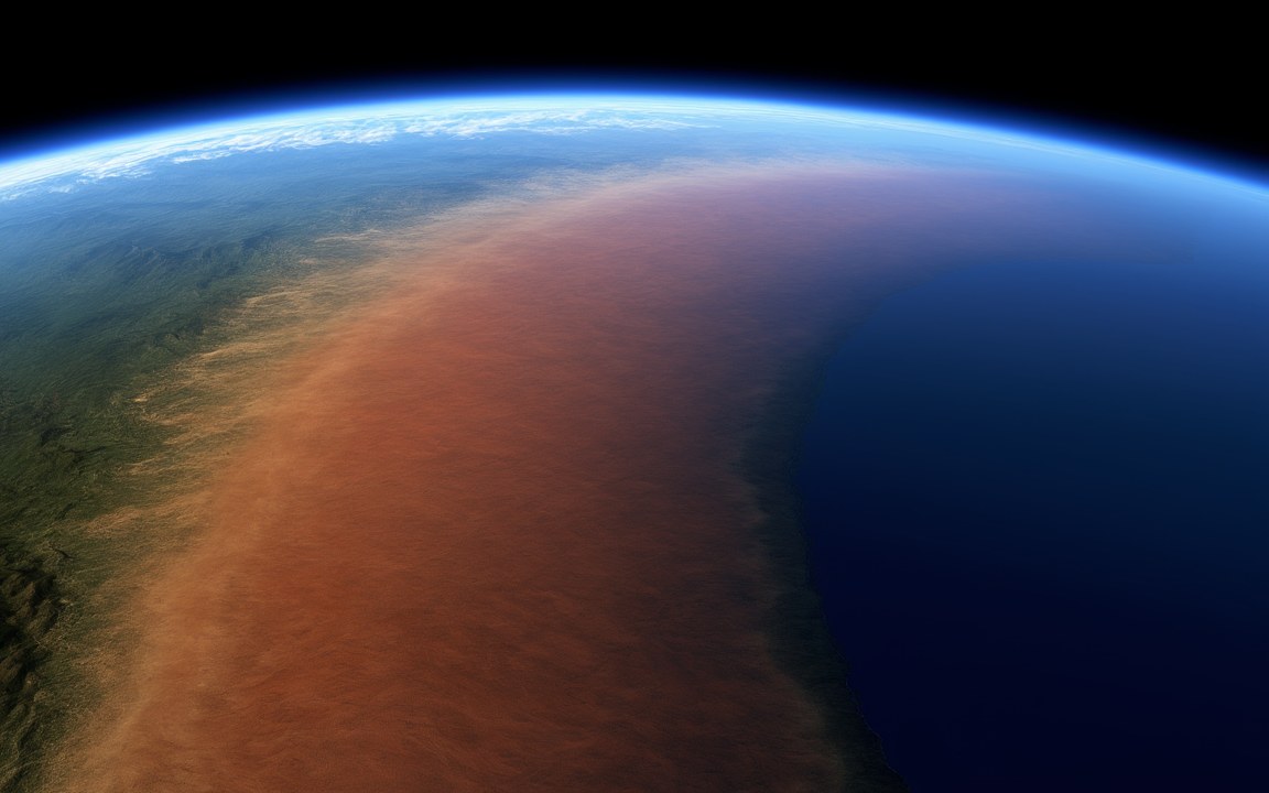
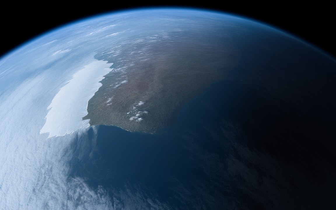
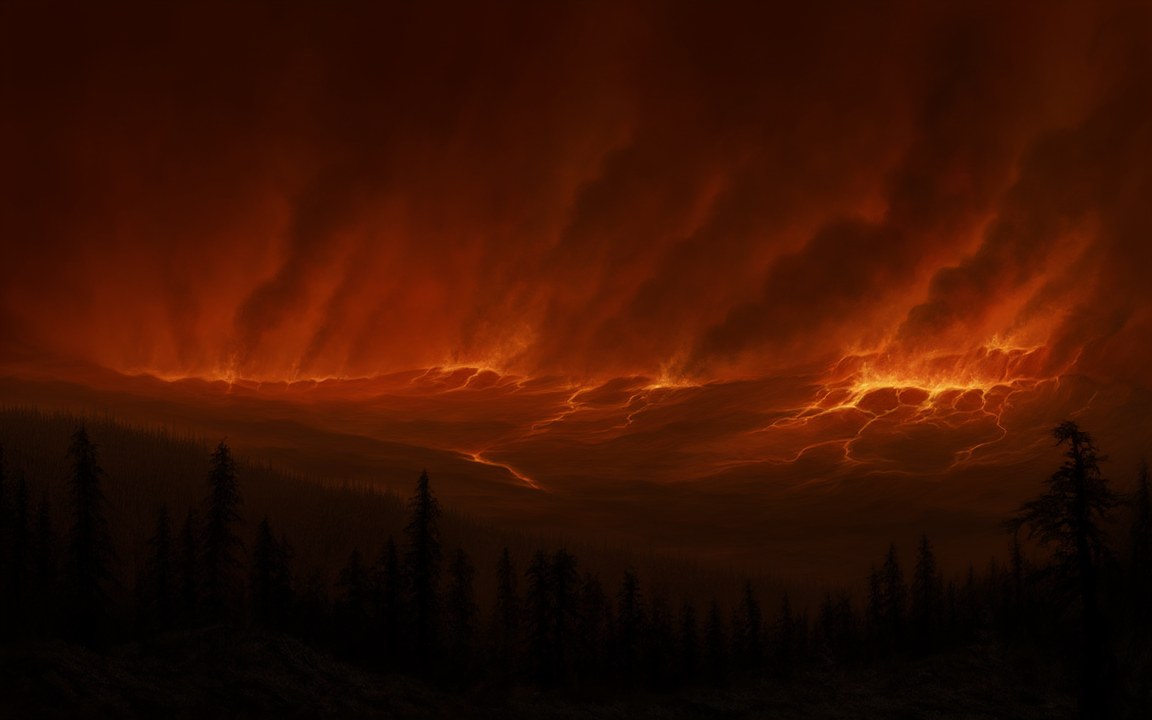
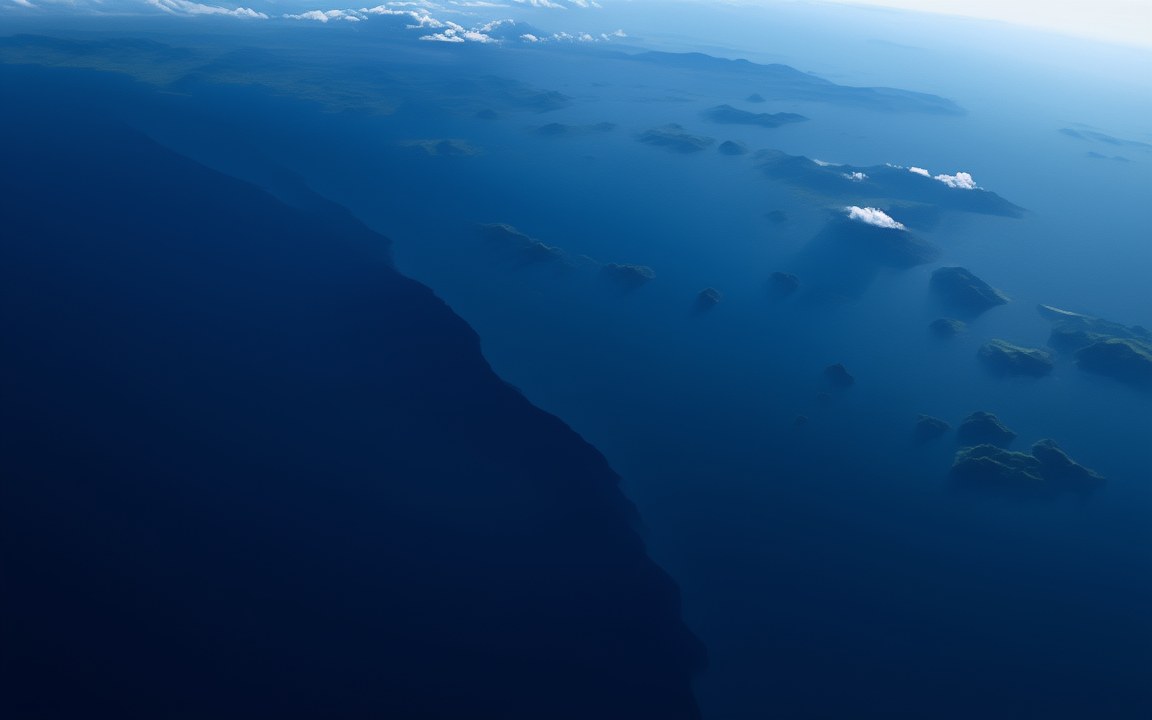
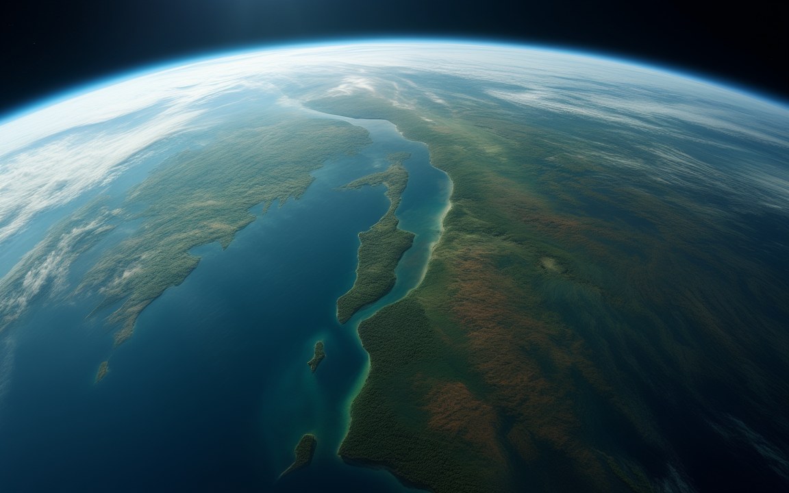
About the pictures. Painted from high orbit as a vast, dry land running over the horizon beside an open ocean, and closer in as its red desert interior, a monsoon storm on its coast and the snow-capped Central Pangean Mountains. The orbital view is too close to show the C shape, which comes from reconstructions based on the fit of the continents, matching rocks and fossils, and magnetism in old lava. The desert follows fossil dunes, the storm follows climate simulations and the mountains follow the worn-down roots of the range. The exact coastlines, the colour of the land, how much of it was green, the plants and the snow are imagined.
For about 160 million years, almost all the land on Earth was joined in one piece. Pangaea came together around 335 million years ago, when the great southern continent of Gondwana collided with the northern lands of Europe and North America, and Siberia was the last large piece to join, around 250 million years ago. It stretched from the far north to the far south in the shape of a C, wrapped around a warm sea called the Tethys. The rest of the planet was a single ocean, Panthalassa.
A world of extremes
With so much land in one place, much of the interior lay far from the sea. It was dry and fiercely seasonal, and it held one of the most extensive deserts in the history of the planet. Some of its dunes are still there, turned to stone: the Navajo Sandstone of the American Southwest, up to about 700 m thick, is a sea of sand that once lay on Pangaea’s western side.
Through the middle ran the Central Pangean Mountains, raised by the collision of the continents and, in the early Permian, comparable in size to the Himalayas today. Their worn-down roots survive as the Appalachians, the Ouachitas and the Atlas Mountains.
Around the coasts, a gigantic seasonal monsoon brought rain. A 2023 study ran 26 climate simulations across 250 million years and found that in the Triassic this “megamonsoon” covered an enormous area but delivered only weak rainfall. It was the size and position of the land, not the global temperature, that set its pattern.
Matching coasts, rocks and fossils
The idea that the continents had once been joined is old, but the German scientist Wegener was the first to argue it in detail, in three articles in 1912 and a book in 1915. He used the name Pangaea in the 1920 edition. The evidence he and later researchers gathered is still the core of the case. The coasts on either side of the Atlantic fit together closely when they are matched at the edge of the continental shelf. Mountain belts and deposits left by glaciers continue from one continent to another. Fossils of the small reptile Mesosaurus, about 275 million years old, are found in South Africa, Uruguay and Brazil, which are now separated by the South Atlantic. Magnetism frozen into old lava records where each continent lay.
Breaking apart
The first rifts opened about 230 million years ago, and the main breakup followed about 175 million years ago. As North America pulled away from Africa, an enormous outpouring of lava, the Central Atlantic Magmatic Province, erupted about 201 million years ago and spread over roughly 11 million square kilometres.
How the breakup started is still being worked out. A study published in 2026 used oceanic crust along the edges of the Atlantic and Indian oceans to estimate the temperature of the mantle beneath Pangaea, and found it was only slightly warmer than normal. That argues against the idea that a heat build-up under the supercontinent forced it apart. Another 2026 study, using seismic surveys off the east coast of the United States, found that the volcanic activity that finally split the crust there came around 15 million years after the great lava outpouring, weakening the idea that the eruption itself opened the Atlantic.
The breakup has not stopped. The Red Sea and the East African Rift are places where continents are still tearing apart today.
Where it sits in deep time
Pangaea: About 335 to 175 million years ago, in the Carboniferous.
Each step to the right is ten times closer to today, so the last few million years get as much room as the first billion.
22:14:23
If Earth's history were one day
Squeeze all of Earth's history, about 4.6 billion years, into 24 hours, starting at midnight. Pangaea runs from 22:14:23 to 23:04:50, ending 55 minutes before midnight.
On this clock one second is about 52 862 years. All of written history fits into the last tenth of a second.
Reconstructions
Seen from high orbit, a vast reddish-brown desert land stretching unbroken to the curved horizon, with a dark blue ocean along its coast and a greener fringe on the far side, an impression of the supercontinent Pangaea about 250 million years ago. AI-generated painting.A vast, empty red desert valley with rippled sand, dry riverbeds, rocky cliffs on either side and a few dark conifers in the foreground under a hazy, pale sky, an impression of the dry interior of Pangaea. AI-generated painting.Dark storm clouds and lightning rolling in over a grey sea, rain sweeping across a low coastal plain of conifers and ferns beside a muddy river mouth, an impression of the great monsoon on the coast of Pangaea about 230 million years ago. AI-generated painting.A long range of jagged, snow-capped mountains stretching across the horizon above a wide red plain crossed by a thin braided river, an impression of the Central Pangean Mountains about 290 million years ago. AI-generated painting.
Questions people ask
When did Pangaea form and break up?
It was assembled by about 335 million years ago and complete by about 250 million years ago. Rifting started about 230 million years ago, and the main breakup came about 175 million years ago. Some sources give round figures of about 200 million years ago for the start of the breakup.
What did Pangaea look like?
A huge C-shaped supercontinent reaching from the far north to the far south, wrapped around the Tethys Ocean, with a single great ocean, Panthalassa, covering the rest of the globe. Its interior held one of the largest deserts in Earth's history, and a chain of mountains as large as the Himalayas ran through its middle.
Who discovered Pangaea?
The German scientist Wegener proposed in 1912 that the continents had once been joined, and used the name Pangaea in the 1920 edition of his book. In 1931 the geologist Holmes suggested that slow currents in the mantle could move them.
What is the evidence that Pangaea existed?
The coasts on either side of the Atlantic fit together closely, the same mountain belts and glacial deposits continue from one continent to another, the same fossils, such as the reptile Mesosaurus, turn up on continents now oceans apart, and magnetism frozen into old rocks records where they lay.