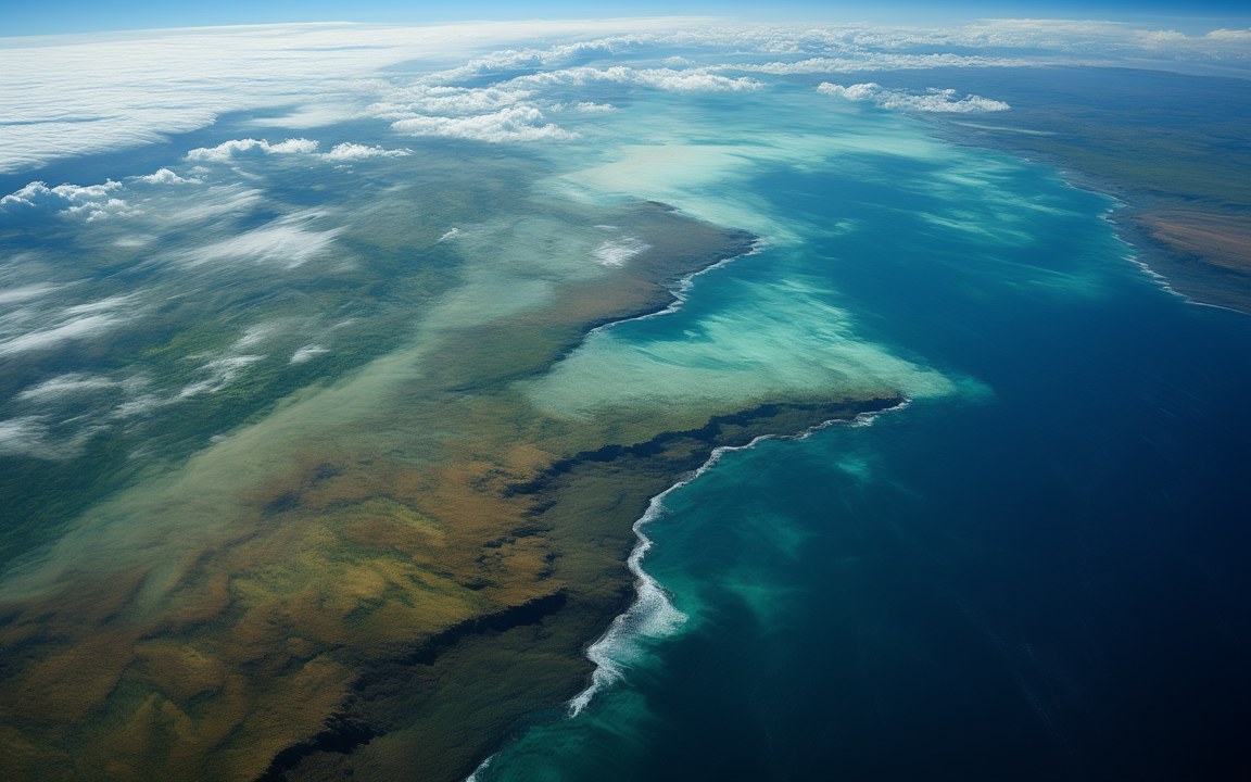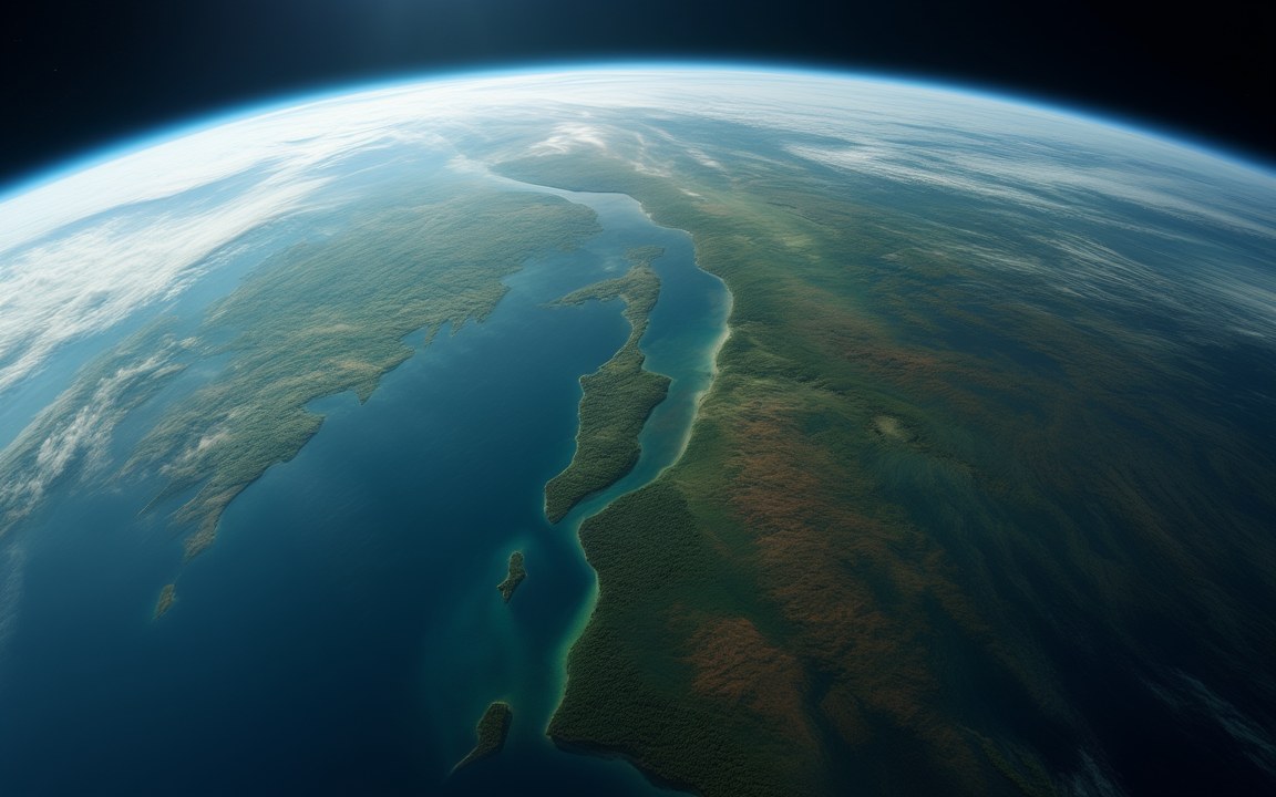
The curved Earth seen from space, a green northern landmass split by a long, narrow sea and fringed with islands in shallow water, an impression of the northern supercontinent Laurasia about 150 million years ago.

Lost WorldsTriassic

Laurasia

The northern continent of North America, Europe and Asia, cut off from Gondwana and then broken in two by the Atlantic

About 215 to 56 million years ago, as a continent of its own Reconstruction, not a photograph
Made of North America, Europe and most of Asia without the Balkan Peninsula, India or Arabia [1]
Name Laurentia + Eurasia Laurentia is the ancient core of North America [4]
Proposed 1937, by du Toit in his book Our Wandering Continents [1]
Assembled from about 300 to 290 million years ago as Kazakhstania and Siberia joined, raising the Urals; Siberia had fused with Pangaea by about 250 million years ago [1]
Split from Gondwana about 215 to 175 million years ago beginning in the late Triassic, after Pangaea's first rifts of about 230 million years ago [1]
Broken in two about 56 million years ago by the opening of the North Atlantic, when Greenland became a plate of its own [1]
Older core Laurussia, about 400 million years ago Laurentia and Baltica only; also called Euramerica [1]
Inland sea about 100 to 66 million years ago the Western Interior Seaway, up to 970 km wide, cut North America in two [9]
First pines about 130 million years ago the pine genus originated in Laurasia [1]
Named after it Laurasiatheria the mammal group of bats, hoofed mammals, whales, carnivorans, hedgehogs and pangolins [11]

About the pictures. Painted as the northern continent seen from orbit about 150 million years ago, cut by narrow seas and fringed with islands; as the shallow inland sea that split North America about 80 million years ago; and as a Jurassic forest of tall conifers, cycads and ferns beside a river. The layout of land and sea follows plate reconstructions and the marine rocks the seaway left behind, and the forest follows fossil plants of the time. The coastlines, the colour of the land and the exact plants are imagined.

Laurasia was the northern of the two great landmasses that Pangaea divided into. It carried what are now North America, Europe without the Balkan Peninsula, and Asia without India and Arabia, which still belonged to Gondwana in the south. It began to pull away from Gondwana in the late Triassic, between about 215 and 175 million years ago, and held together until the opening of the North Atlantic broke it in two about 56 million years ago. The name lives on in biology: a large branch of the mammal family tree, which includes bats, whales and horses, is called Laurasiatheria after it.

Laurasia is not Laurussia

The name joins Laurentia, the ancient core of North America, with Eurasia, and it is easily confused with an older, smaller continent. About 400 million years ago Laurentia collided with Baltica, the old core of north-western Europe, in the Caledonian mountain-building episode. The result was Laurussia, also called Euramerica or the Old Red Sandstone Continent, which in the late Carboniferous sat on the equator under tropical rainforest.

Laurasia was built on that core. Kazakhstania and Siberia were added from about 300 to 290 million years ago, and the long collision of Baltica, Kazakhstania and Siberia raised the Ural Mountains. Siberia had fused with Pangaea by about 250 million years ago. For tens of millions of years after that, these lands were simply the northern part of Pangaea. The partnership at the centre is far older: Laurentia had been the heart of the supercontinent Rodinia, and it and Baltica had drifted apart about 650 to 600 million years ago, opening the Iapetus Ocean that the Caledonian collision later closed.

Du Toit’s two halves

The idea of a northern continent came from the South African geologist du Toit, one of the staunchest supporters of Wegener’s continental drift. In his 1937 book Our Wandering Continents he proposed that Pangaea had been made of two large landmasses, Laurasia in the north and Gondwana in the south, with the Tethys Ocean between them. Rift basins opened between North America and Africa about 200 million years ago, ahead of the Central Atlantic, and by the Late Jurassic a seaway ran right across: Pangaea was in two.

Nor was Laurasia often a single unbroken landmass. The Turgai Strait separated Europe from Asia from the Middle Jurassic to the Oligocene, and in the warm, largely ice-free Cretaceous the sea rose so high that a third of today’s land area was flooded.

A sea through North America

The most striking of those floods was the Western Interior Seaway. For about 34 million years, from about 100 to 66 million years ago, it ran from the Gulf of Mexico to the Arctic Ocean and split North America into Laramidia in the west and Appalachia in the east, with Hudsonia to the north-east. At its largest it was roughly 760 m deep, 970 km wide and more than 3 200 km long. Mosasaurs and plesiosaurs hunted in it, along with the 4 to 5 m predatory fish Xiphactinus and the flightless bird Hesperornis, while Pteranodon flew overhead.

Torn open from the north

Laurasia’s final break came from the north. Seafloor spreading began in the North Atlantic about 83 million years ago, between the Rockall Basin and North America. By 56 million years ago Greenland had become a plate of its own, and by 33 million years ago spreading had moved from the Labrador Sea to the Mid-Atlantic Ridge. Land bridges still let animals cross in the early Paleogene, and early in the Eocene a peak of warmth brought alligators and amphibians north of the Arctic Circle.

Northern lineages

The northern dinosaur record starts early. Leg bones from Wyoming about 230 million years old, described in 2025 as Ahvaytum bahndooiveche, belong to the oldest known dinosaur from Laurasia, an animal its describers compared to a chicken with a very long tail. It argues against the idea that dinosaurs stayed in Gondwana for millions of years before spreading north.

Once the halves parted, the north went its own way. True crocodilians evolved from the Laurasian branch of their group, East Asia kept its own psittacosaurs and ankylosaurids, and the pine genus appeared about 130 million years ago, reaching from North America to East Asia by the end of the Cretaceous. Tyrannosaurs moved between the two ends: Khankhuuluu mongoliensis, a horse-sized relative of Tyrannosaurus about 90 to 83 million years old from Mongolia, suggests an ancestor reached North America from Asia about 85 million years ago and that the group later moved back.
Where it sits in deep time

Laurasia: About 215 to 56 million years ago, as a continent of its own, in the Triassic.

Laurasia

Earth forms, 4.57 billion years agoToday

Each step to the right is ten times closer to today, so the last few million years get as much room as the first billion.

If Earth's history were one day

Squeeze all of Earth's history, about 4.6 billion years, into 24 hours, starting at midnight. Laurasia runs from 22:52:13 to 23:42:21, ending 18 minutes before midnight.

On this clock one second is about 52 862 years. All of written history fits into the last tenth of a second.

Reconstructions

The curved Earth seen from space, a green northern landmass split by a long, narrow sea and fringed with islands in shallow water, an impression of the northern supercontinent Laurasia about 150 million years ago. AI-generated painting.
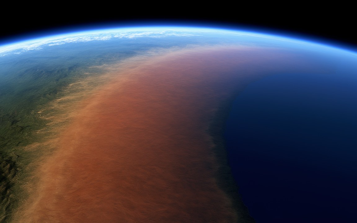
Seen from high above, a green landmass split by a long, shallow sea of pale turquoise water, deep blue ocean beyond and white clouds, an impression of the inland seaway that divided North America about 80 million years ago. AI-generated painting.
A slow river winding through a misty forest of tall conifers, palm-like cycads and a thick carpet of ferns, an impression of a forest in the northern continent of Laurasia about 150 million years ago. AI-generated painting.

Questions people ask

What was Laurasia?

The northern of the two great landmasses that Pangaea divided into. It carried what are now North America, Europe and most of Asia, without India and Arabia, which were then part of Gondwana in the south.

What is the difference between Laurasia and Gondwana?

Laurasia was the northern half of Pangaea and Gondwana the southern half, with the Tethys Ocean between them. Gondwana had already existed as a continent for hundreds of millions of years, since about 600 million years ago, while Laurasia only became a separate continent when Pangaea split.

Is Laurasia the same as Laurussia?

No. Laurussia, also called Euramerica, formed about 400 million years ago when the cores of North America and northern Europe collided. Laurasia was larger: Kazakhstania and Siberia were added from about 300 to 290 million years ago, and with them most of Asia, with Siberia fused to Pangaea by about 250 million years ago.

When did Laurasia break up?

It pulled away from Gondwana between about 215 and 175 million years ago, after the first rifts in Pangaea opened about 230 million years ago. It was then broken in two by the opening of the North Atlantic, with spreading under way by about 83 million years ago and Greenland a separate plate by 56 million years ago.

Who named Laurasia?

The South African geologist du Toit, a leading supporter of Wegener's continental drift. In 1937 he proposed that Pangaea had been made of two large landmasses, Laurasia in the north and Gondwana in the south.

Sources

  1. Wikipedia: Laurasia
  2. Wikipedia: Pangaea
  3. Wikipedia: Pteranodon
  4. Wikipedia: Laurentia
  5. Wikipedia: Baltica
  6. Wikipedia: Uralian orogeny
  7. USGS, This Dynamic Earth: Historical perspective
  8. Wikipedia: Gondwana
  9. Wikipedia: Western Interior Seaway
  10. Wikipedia: Cretaceous
  11. Wikipedia: Laurasiatheria
  12. ScienceAlert (2025), Fossil discovery rewrites global dinosaur history (Lovelace et al., Zoological Journal of the Linnean Society)
  13. EarthSky (2025), Khankhuuluu, a new T. rex relative from Mongolia (Voris & Zelenitsky, Nature)