Mappedabout 23 000 km²of buried landscape, from seismic surveys[1]
Forestsoak, elm and hazelmore than 16 000 years ago, from ancient DNA[4]
PeopleMesolithic hunter-gatherersand Neanderthals much earlier[1]
Dogger Bank today15 to 36 m under the seaa sandbank of about 17 600 km²[3]
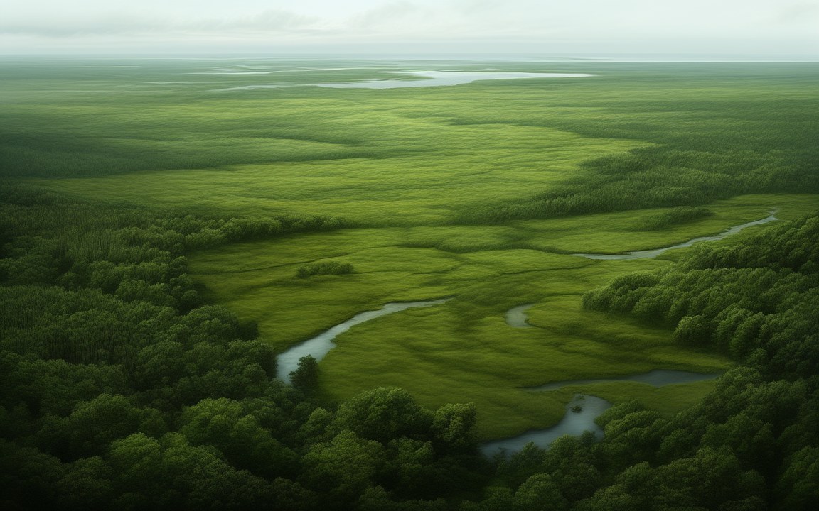
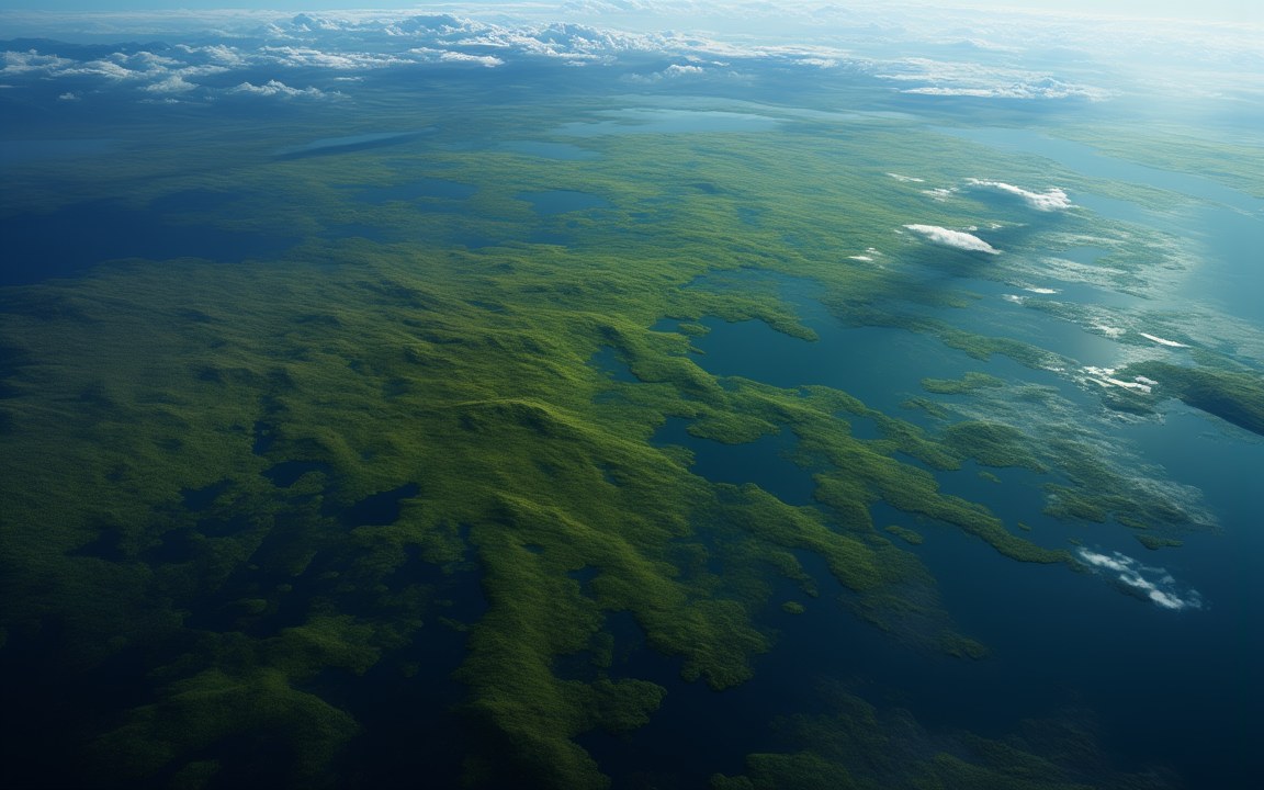
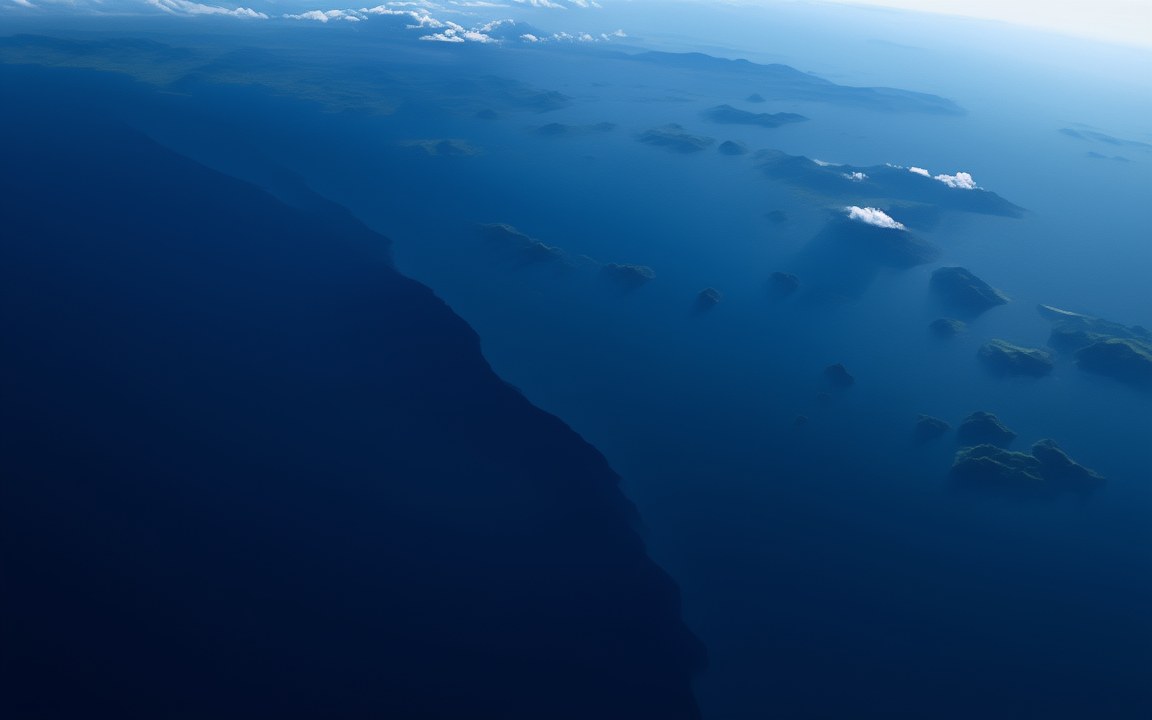
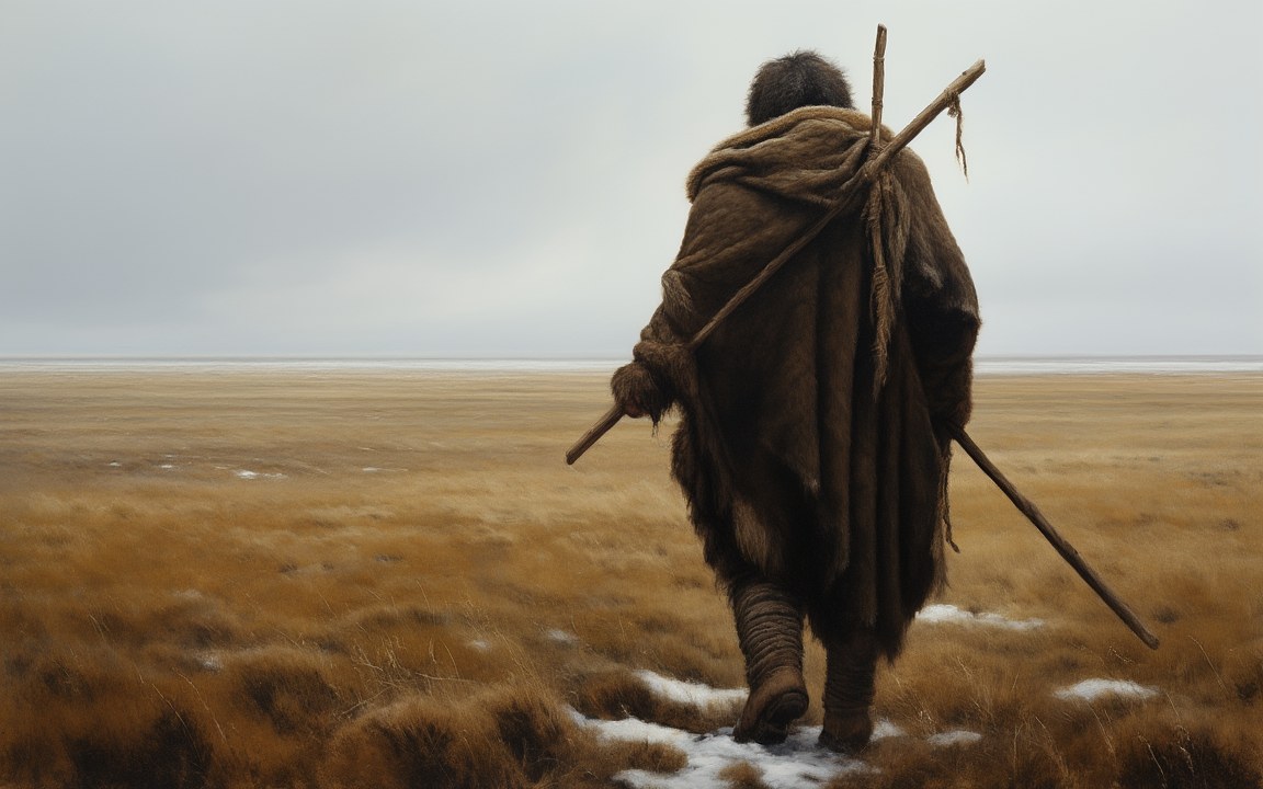
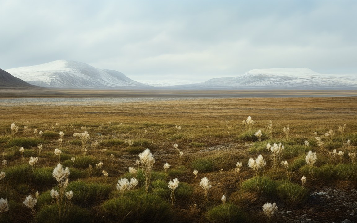
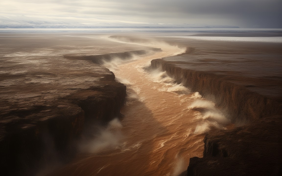
About the pictures. Painted as a low landscape of marshes, rivers, lagoons and woods about 10 000 years ago; from above as the rising North Sea cut deep inlets into it; as a lone hunter in a dugout canoe among reeds; and as the Storegga tsunami pouring over a saltmarsh about 8 200 years ago. The landscape comes from seismic maps of buried river valleys and plant DNA in seabed cores, the canoe loosely from Mesolithic dugouts such as the one found at Pesse in the Netherlands, and the flood from tsunami deposits. The exact coastline, the mix of woodland and marsh, the weather, the height of the water and the hunter's looks and clothes are imagined.
Where the southern North Sea lies today, there was once dry land. During the last Ice Age so much water was locked up in ice sheets that the sea stood about 120 to 130 m lower than it does now, and Britain was joined to the rest of Europe by a wide, low country of rivers, marshes, lagoons and woods. Archaeologists call it Doggerland. People lived there for thousands of years, until the rising sea swallowed it between about 10 000 and 7 000 years ago.
A lost landscape
Doggerland was not a narrow bridge but a whole country, with lagoons, saltmarshes, mudflats, beaches, rivers and lakes. It was probably a rich place to hunt, fowl and fish. Among its inhabitants were Mesolithic hunter-gatherers of the culture archaeologists call the Maglemosian.
Its shape has been recovered from below the seabed. Between 2003 and 2007 researchers at the University of Birmingham used seismic surveys to map about 23 000 square kilometres of buried landscape, tracing old river valleys and coastlines under the sediment. Since 2015 the Europe’s Lost Frontiers project has drilled dozens of cores along one of those valleys, nicknamed the Southern River.
Gifts from the trawlers
The North Sea has been giving up Doggerland’s past for a long time. In 1931 the trawler Colinda hauled up a lump of peat from near the Ower Bank, about 40 km off the coast of Norfolk, with a barbed antler point 220 mm long inside it. A fragment of a Neanderthal skull more than 40 000 years old was dredged from the seabed off Zeeland in the Netherlands. The bones of mammoths, lions and rhinoceroses have come up too, and in 2019 a flint hammerstone was recovered from 32 m below the surface off Cromer.
Forests earlier than thought
In 2026 a team analysed ancient DNA from 252 samples taken from 41 cores along the Southern River. They found that oak, elm and hazel were growing in southern Doggerland more than 16 000 years ago, thousands of years earlier than expected, and that lime trees appeared there about 2 000 years earlier than any record from mainland Britain. A relative of the walnut, Pterocarya, survived far longer than anyone had thought. The researchers suggest that Doggerland sheltered trees through the end of the Ice Age and could have supported people much earlier than believed.
The sea comes in
As the ice melted, the sea crept back, and the drowning was gradual. A 2026 study of one core found the moment freshwater silts gave way to salty marine clay, dated to around 10 200 years ago. A tidal bay already separated eastern England from the Dogger Bank by about 9000 BC, and Britain became an island by about 6500 BC.
Around 6200 BC a huge undersea landslide off Norway, the Storegga Slide, sent a tsunami across the North Sea. Its deposits are found up to 29 km inland in Scotland, and one estimate suggests it may have killed up to a quarter of Britain’s Mesolithic population. But it did not finish Doggerland off. Parts of the land survived above water until about 7 000 years ago, possibly including an island on the Dogger Bank.
Today the Dogger Bank is a sandbank of about 17 600 square kilometres, 15 to 36 m below the surface. The land around it is buried under sediment and water, and offshore wind farms are being built above it.
Where it sits in deep time
Doggerland: Drowned between about 10 000 and 7 000 years ago, in the Pleistocene.
Each step to the right is ten times closer to today, so the last few million years get as much room as the first billion.
23:59:59.62
If Earth's history were one day
Squeeze all of Earth's history, about 4.6 billion years, into 24 hours, starting at midnight. Doggerland runs from 23:59:59.62 to 23:59:59.87, ending 0.13 seconds before midnight.
On this clock one second is about 52 862 years. All of written history fits into the last tenth of a second.
The last minute, enlarged
23:59:00midnight
How low the sea was
How far sea level fell during the last Ice Age, compared with the depth of Doggerland's highest ground today.
Sea level drop at the height of the Ice Age, up to130 m
Deepest part of Dogger Bank today36 m
Shallowest part of Dogger Bank today15 m
Estimates of the global drop run from about 120 m to about 130 m; the depths are those of the Dogger Bank.
Reconstructions
A wide, flat green lowland of grassy marsh and winding streams between dense woods, with lagoons and a pale grey sea on the far horizon, an impression of Doggerland, the land now under the North Sea. AI-generated painting.A green and brown lowland seen from high above, cut by long inlets and lakes as a dark sea spreads into it from the right under scattered white clouds, an impression of Doggerland being drowned by the rising North Sea. AI-generated painting.A long-haired hunter dressed in hides, seen from behind, sitting in a dugout canoe carved from a single tree trunk among tall golden reeds on a misty lagoon, woods on the far shore, an impression of life in Doggerland about 10 000 years ago. AI-generated painting.A surge of brown, foaming floodwater pouring across a flat saltmarsh into the edge of a birch wood, broken branches in the water under a heavy grey sky, an impression of the Storegga tsunami flooding the coast of Doggerland about 8 200 years ago. AI-generated painting.
Questions people ask
When was Doggerland flooded?
Gradually, between about 10 000 and 7 000 years ago, as the ice sheets melted and the sea rose. Britain became an island by about 6500 BC, and the last remnants, possibly including an island on the Dogger Bank, went under by about 7 000 years ago.
Did the Storegga tsunami destroy Doggerland?
It struck about 6200 BC, when a huge undersea landslide off Norway sent a tsunami across the North Sea; its deposits reach up to 29 km inland in Scotland. But it was not the final blow: parts of Doggerland survived above water for centuries afterwards.
Did people live in Doggerland?
Yes. Mesolithic hunter-gatherers lived there, fishing, fowling and hunting in a rich landscape of rivers, lagoons and marshes. A Neanderthal skull fragment more than 40 000 years old has also been dredged from the seabed off the Netherlands.
What has been found on the seabed?
Fishing trawlers and dredgers have brought up a barbed antler point, flint tools, a Neanderthal skull fragment and the bones of mammoths, lions and rhinoceroses. In 2019 a flint hammerstone was recovered from 32 m below the surface off Cromer in Norfolk.
Why is it called Doggerland?
The archaeologist Coles named it in the 1990s after the Dogger Bank, a large sandbank in the North Sea, which was itself named after the Dutch fishing boats called doggers.