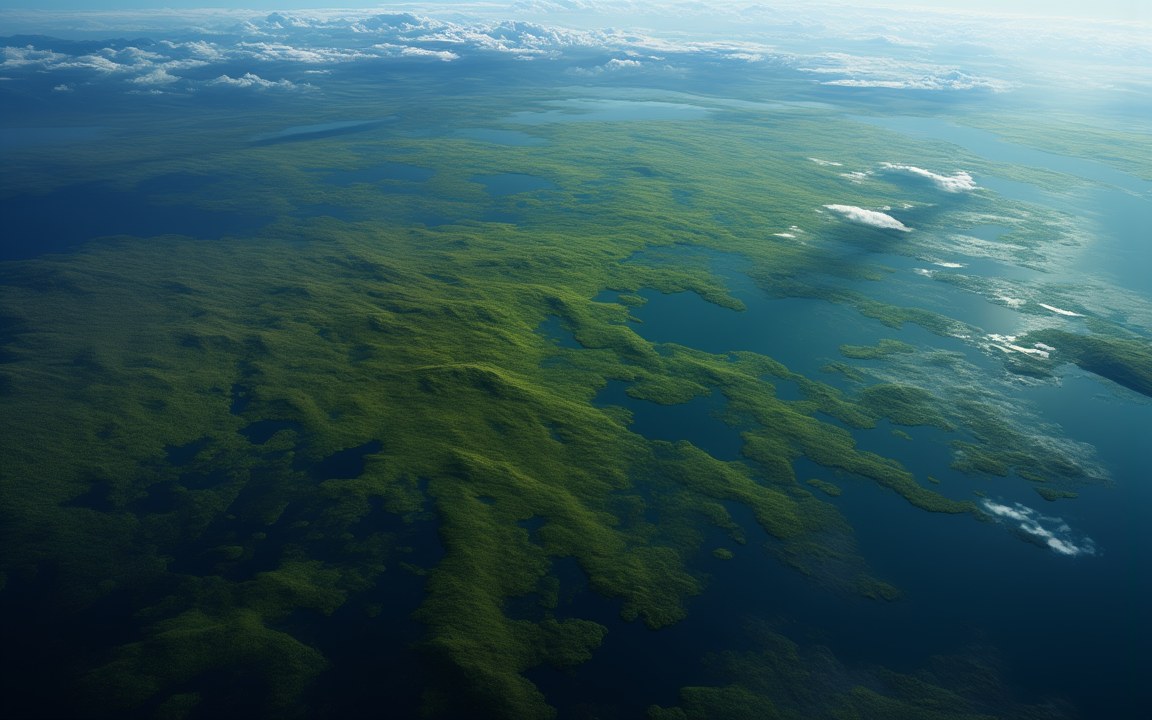
A vast green lowland dotted with lakes and channels seen from high above, stretching away under thin white clouds toward a curved horizon, an impression of the Beringia land bridge between Asia and North America in the Ice Age.

Lost WorldsPleistocene

Beringia

The vanished land between Asia and Alaska, where the first Americans waited out the Ice Age

Exposed about 35 700 to 11 000 years ago Reconstruction, not a photograph
Last exposed about 35 700 to 11 000 years ago older studies give about 30 000 for the start [4]
Width up to 1 000 km from north to south [1]
Area about 1.6 million km² [1]
Sea level about 120 to 130 m lower than today at the height of the last Ice Age; estimates differ [4]
Named 1937, by Hultén after Bering, who sailed into the strait in 1728 [1]
Summers 3 to 5 °C cooler than today [1]
Animals mammoths, steppe bison, horses, caribou hunted by cave lions, wolves and, on the American side, short-faced bears [3]
Oldest human footprints in North America about 21 000 to 23 000 years old White Sands, New Mexico; the dating is still questioned by critics [8]
Bering Strait today 82 km wide 30 to 50 m deep [2]

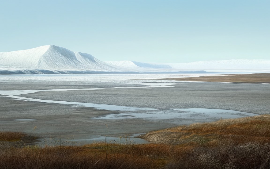
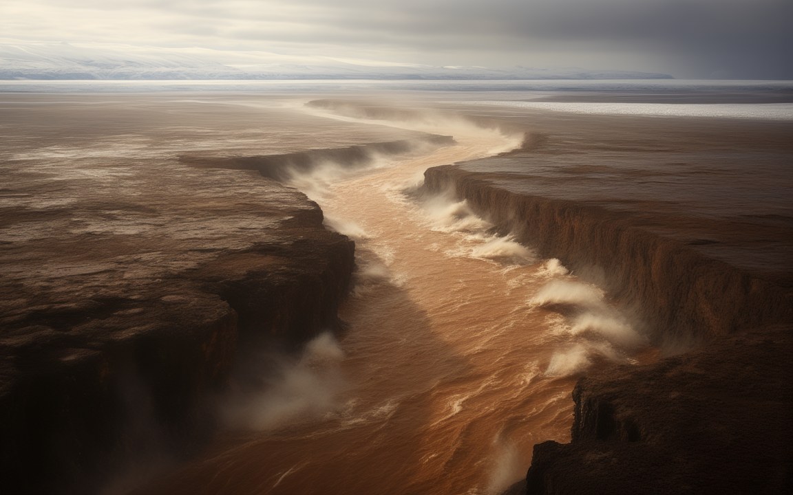
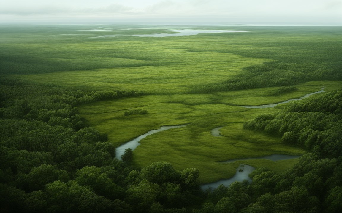
About the pictures. Painted from above as a wide, low land of shrub tundra, lakes and wetlands joining Asia and North America; at ground level in the wet middle of the bridge, among ponds and winding channels; and as a hunters' camp, after the base camps found in Alaska from about 13 800 years ago. The landscapes follow pollen, plant and insect fossils and seafloor surveys. The coastline at any moment, how wet each part was, the weather, the distant mountains and the form of the tents are imagined.

During the last Ice Age, so much of the world’s water was locked up in ice that the sea fell about 120 to 130 m. Between Siberia and Alaska, where the Bering Strait now separates two continents, a vast stretch of seabed rose into the air. Beringia, as it is called, was not a narrow bridge but a land up to 1 000 km wide from north to south, covering about 1.6 million square kilometres. Mammoths and bison crossed it, and so, in time, did the first people to reach the Americas.

A land, not a bridge

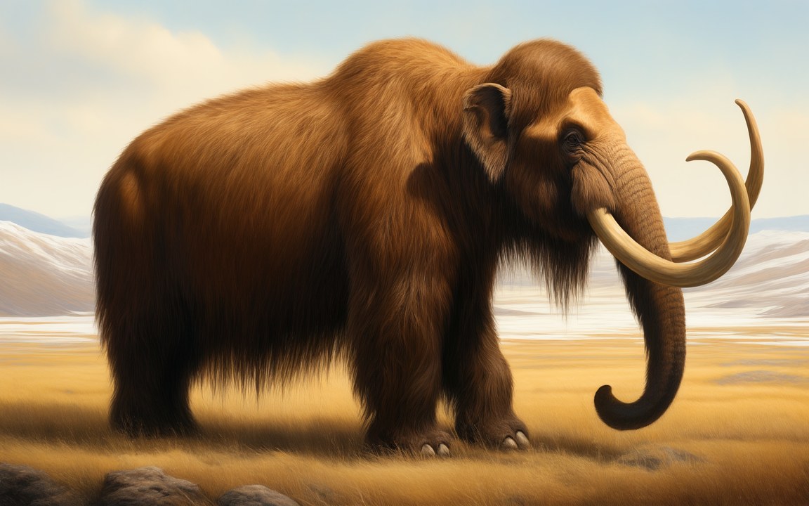
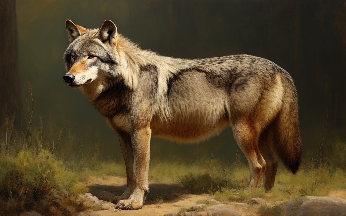
Most of Beringia, on both the Asian and the American side, was covered in mammoth steppe: a cold, dry grassland of grasses, sedges, sagebrush and willow shrubs under mostly clear skies. Summers were 3 to 5 °C cooler than today. Woolly mammoths, steppe bison, horses, caribou, muskoxen and saiga grazed there, hunted by cave lions, wolves and brown bears, and on the American side by short-faced bears.

The bridge in the middle was different. Fossil plants and pollen suggest it was covered in shrub tundra with some trees, and in 2024 researchers presented seafloor surveys and cores from the strait that showed many small lakes, river channels and moss, a wet landscape they compared to the deltas of western Alaska today. It may have been more of a land swamp than a dry bridge.

When it opened

The land bridge appears whenever the sea falls more than about 50 m below its present level, because the strait today is only 30 to 50 m deep. For a long time it was thought to have opened about 30 000 years ago, or earlier. A study published at the end of 2022 used chemical signals in three seafloor cores from the Arctic to show that the Bering Strait was still flooded until about 35 700 years ago, so the bridge emerged surprisingly late, less than 10 000 years before the peak of the Ice Age. It was drowned again about 13 000 to 11 000 years ago as the ice melted.

The first Americans

The ancestors of the first Americans came from Asia across Beringia. Genetic studies suggest that one population lived isolated somewhere in Beringia from about 25 000 years ago for 5 000 years or more, before most of its descendants moved south of the ice sheets by about 15 000 years ago. An infant buried 11 500 years ago at Upward Sun River in Alaska belongs to a lineage known as the Ancient Beringians.

People reached the south earlier than once believed. Fossil footprints in the ancient lake beds of White Sands, New Mexico, have been dated by several methods to about 21 000 to 23 000 years ago, and a 2025 study dated mud from the same lake deposits to 20 700 to 22 400 years. Critics have questioned the dating, and no tools have been found with the tracks. In 2026 archaeologists described a camp near Fairbanks in Alaska about 13 800 years old whose diamond-shaped stone points match sites on the Siberian side.

What remains

Today the Bering Strait is 82 km wide at its narrowest. The two Diomede Islands lie only 3.8 km apart in the middle of it. St. Lawrence Island and King Island are fragments of the old land, and part of Beringia’s Alaskan side is protected as the Bering Land Bridge National Preserve. On St. Paul Island, out in the Bering Sea, an isolated population of mammoths survived until about 5 600 years ago, when the island’s fresh water ran out.
Where it sits in deep time

Beringia: Exposed about 35 700 to 11 000 years ago, in the Pleistocene.

Beringia

Earth forms, 4.57 billion years agoToday

Each step to the right is ten times closer to today, so the last few million years get as much room as the first billion.

If Earth's history were one day

Squeeze all of Earth's history, about 4.6 billion years, into 24 hours, starting at midnight. Beringia runs from 23:59:59.32 to 23:59:59.79, ending 0.21 seconds before midnight.

On this clock one second is about 52 862 years. All of written history fits into the last tenth of a second.

How wide

The land bridge at its widest, from north to south, compared with the Bering Strait today.

Reconstructions

A vast green lowland dotted with lakes and channels seen from high above, stretching away under thin white clouds toward a curved horizon, an impression of the Beringia land bridge between Asia and North America in the Ice Age. AI-generated painting.
A wide, flat lowland of golden grass and low shrubs threaded with still ponds and winding channels that reflect a pale sky, low blue mountains on the far horizon, an impression of the middle of the Bering land bridge in an Ice Age summer. AI-generated painting.
Two low conical tents with a shaggy brown covering on a grassy plain beside a river in golden evening light, a small fire burning in front of them and a hide drying on a wooden frame, distant mountains behind, an impression of a hunters' camp in Ice Age Beringia. AI-generated painting.

Questions people ask

When was the Bering land bridge open?

Most recently from about 35 700 years ago, according to a study of seafloor cores published at the end of 2022, until about 13 000 to 11 000 years ago. Older studies put the opening at about 30 000 years ago. The bridge appears whenever the sea falls more than about 50 m below today's level.

How big was the Bering land bridge?

Up to about 1 000 km wide from north to south, and it covered about 1.6 million square kilometres. It was a whole land rather than a narrow bridge.

Did people cross Beringia to reach the Americas?

Yes. Genetic studies suggest a population lived isolated in Beringia for 5 000 years or more around the height of the Ice Age, before moving south, and an 11 500-year-old infant from Alaska belongs to a lineage called the Ancient Beringians. Footprints in New Mexico, dated by several methods though still questioned by critics, suggest people were south of the ice sheets by about 21 000 years ago.

What animals lived in Beringia?

Woolly mammoths, steppe bison, horses, caribou, muskoxen and saiga grazed its grasslands, with woolly rhinoceroses on the Siberian side, and cave lions, wolves and brown bears hunted them, joined by short-faced bears on the American side.

What is left of Beringia today?

The Bering Strait, 82 km wide and 30 to 50 m deep, with the two Diomede Islands only 3.8 km apart in the middle. St. Lawrence Island and King Island are remnants of the old land, and part of it is protected as the Bering Land Bridge National Preserve in Alaska.

Sources

  1. Wikipedia: Beringia
  2. Wikipedia: Bering Strait
  3. Wikipedia: Mammoth steppe
  4. UC Santa Cruz (2022), Bering Land Bridge formed surprisingly late during last ice age (Farmer et al., PNAS)
  5. Explorersweb (2024), New study finds Bering Land Bridge was really more of a swamp
  6. University of Colorado Boulder (2014), Bering Land Bridge a refuge for early Americans? (Hoffecker et al., Science 343)
  7. ScienceDaily (2025), Buried for 23 000 years: These footprints are rewriting American history (Holliday et al., Science Advances)
  8. USGS (2023), Study confirms age of oldest fossil human footprints in North America
  9. Penn State (2016), St. Paul Island mammoths most accurately dated prehistoric extinction ever
  10. Gizmodo (2026), Thousands of artifacts unearthed in Alaska hint at an even older human presence in the Americas (Graf et al., Science Advances)
  11. US National Park Service: Bering Land Bridge National Preserve