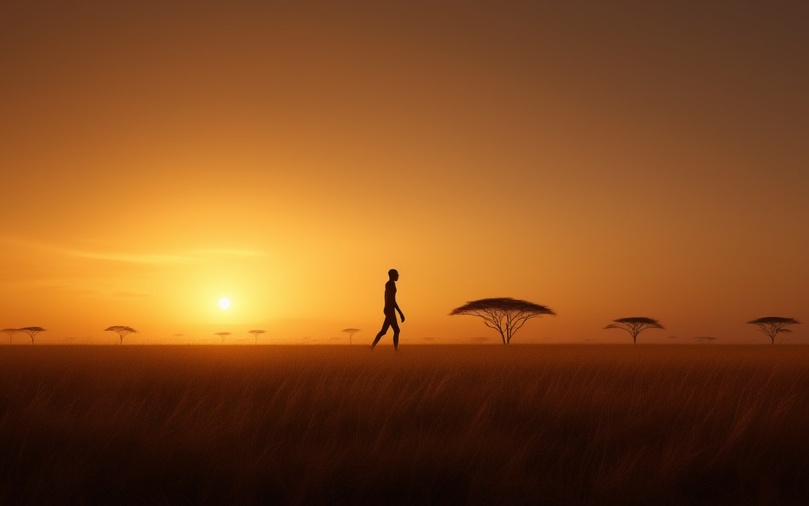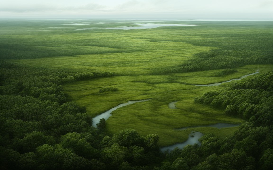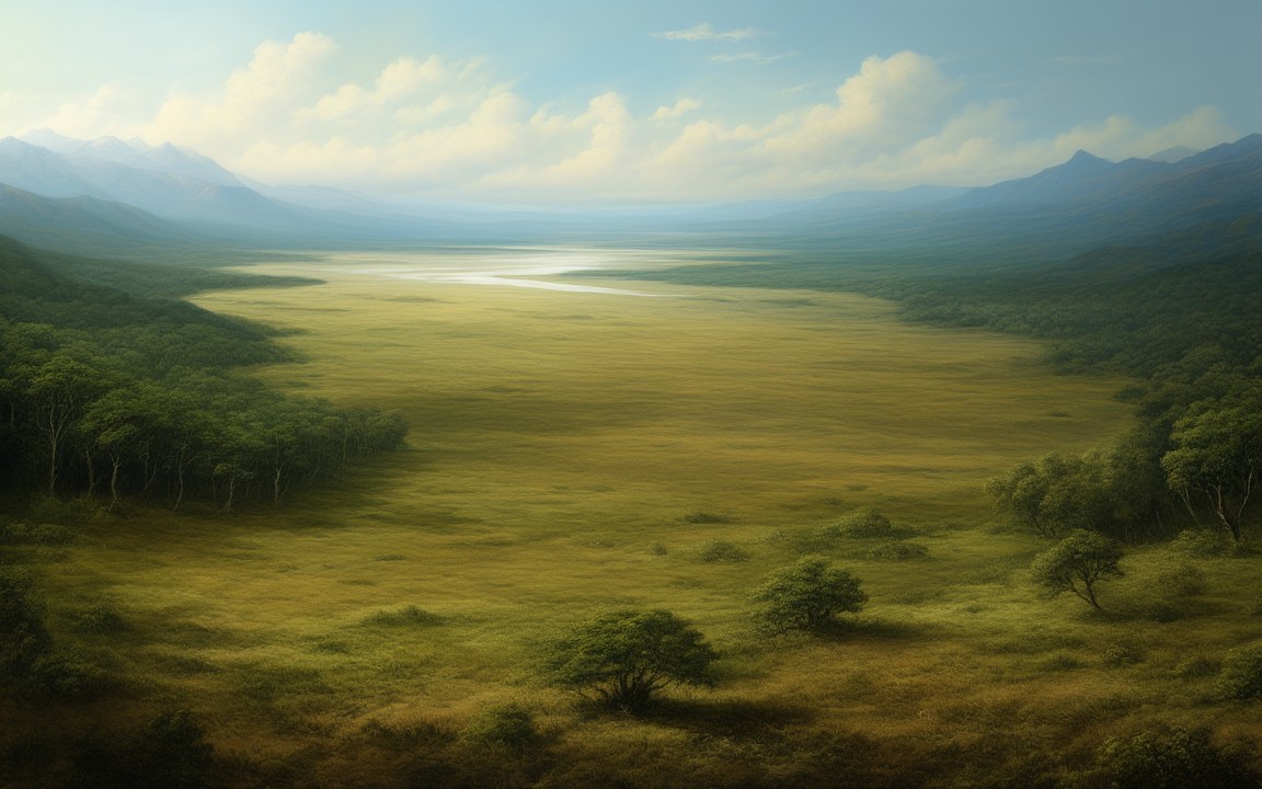
Sundaland was the land that joined Borneo, Java and Sumatra to the Malay Peninsula and mainland Asia whenever the sea was low. At about 1.8 million square kilometres it was a little larger than Beringia, but it lay on the equator, far from the ice. Its floor now lies under the Java Sea, the Gulf of Thailand and part of the South China Sea, and the last of its lowlands went under about 7 000 years ago. Homo erectus lived on its plains, and what grew there is still argued over.
Today’s islands are the exception
A fall of only 30 to 40 m in sea level joins the islands to the mainland, and the sea stood at least 30 m lower through much of the past 800 000 years. Separate islands have been a relatively rare state. The land first emerged about 2.4 million years ago, and mammals walked in from Asia: before then, Java had none. At the last peak of the ice, about 21 000 years ago, the sea stood about 120 to 130 m lower worldwide, or 116 m on maps of the shelf, and the entire shelf was dry.
The Wallace Line, its eastern edge, follows a deep-water channel that no land bridge has crossed. Flores, home of Homo floresiensis, lay beyond it, and Asia and Australia never joined.
Rivers on the sea floor
In 1921 Molengraaff argued that the nearly uniform depth of the shelf marked an old land surface, and he identified drowned river systems across it. A river fish, Polydactylus macrophthalmus, is a living clue: it survives in the Kapuas on Borneo and the Musi and Batanghari on Sumatra, rivers now parted by sea, because it once lived in one river system, now called the North Sunda or Molengraaff river.
Homo erectus in the Madura Strait
In 2014 and 2015 sand was dredged from the Madura Strait, between Java and Madura, to build an artificial island. It held more than 6 000 vertebrate fossils, among them two skull fragments of Homo erectus, the first hominin fossils from the drowned land. Berghuis and colleagues traced them to a buried valley of the Solo River, with luminescence dates of about 162 000 and 119 000 years, each uncertain by about 30 000. Leiden University rounds this to about 140 000 years ago, when the sea was about 100 m lower.
The animals included Stegodon, a relative of elephants, the hippo-like Hexaprotodon, buffalo, rhinoceroses, crocodiles, turtles, pythons and sharks. Cut marks on turtle bones and broken bones of healthy adult bovids suggest hunting and marrow eating, but no recognisable stone tools turned up.
Savanna or rainforest
What grew on the plains is unsettled, and it matters: a corridor of open country would have let savanna animals and early people pass through. Morley and Flenley in 1987 and Heaney in 1991 proposed a continuous savanna corridor through the centre during the last glacial period, from pollen evidence. Bird and colleagues in 2005 noted that no single vegetation model predicts a continuous corridor, but many predict open country between Java and southern Borneo, and suggested one 50 to 150 km wide.
In 2014, species distribution models for 317 dipterocarp trees by Raes and colleagues suggested that the climate of central Sundaland could sustain rainforest and that a corridor was unlikely. A 2026 conference abstract reviewing Malaysian cave fauna, citing orangutans at Batu Caves until about 60 000 years ago, favours forest or a mosaic. Another abstract, from 2025, places open grassland on the inner shelf, with forest on the northern outer shelf. For the Madura Strait, 140 000 years ago, the Leiden team describes fairly dry grassland with narrow strips of forest along the major rivers.
The slow drowning
The land went under in stages from about 18 000 years ago. On maps by Sathiamurthy and Voris, drawn on today’s sea-floor relief, the sea stood 110 m below its present level 18 020 years ago, 50 m at 11 560 and 20 m at 9 530, reaching today’s level about 6 070 years ago. The fastest step recorded on the shelf was up to 16 m in about 300 years, about 14 500 years ago.
Mangroves could not always keep up: biomarkers in South China Sea cores suggest they drowned during the fastest rises. A 2023 study led by Kim, using 763 genomes from 59 ethnic groups, concluded that sea-level rise cut the land by over half and split local populations, and that population pressure then drove a migration to South Asia.